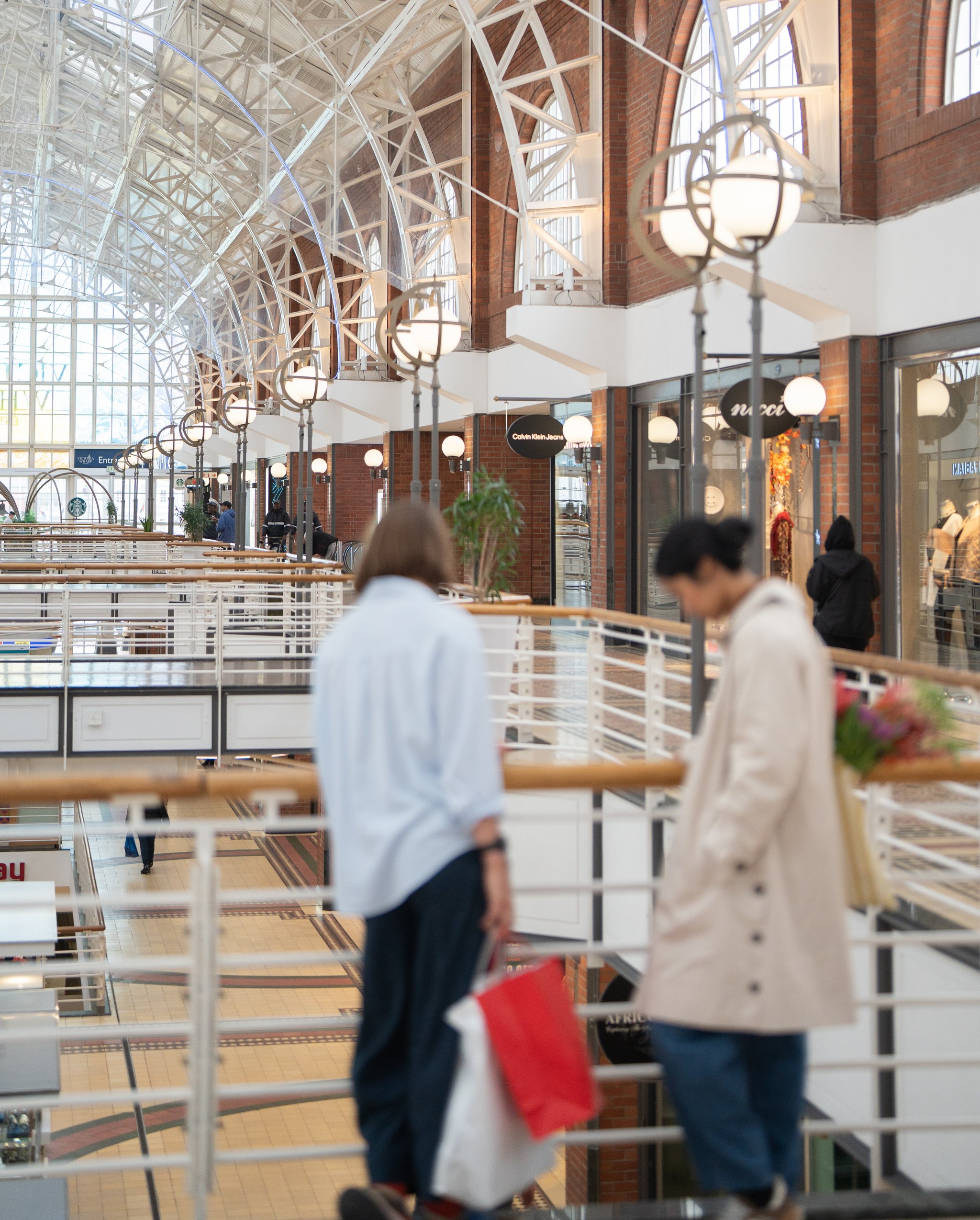
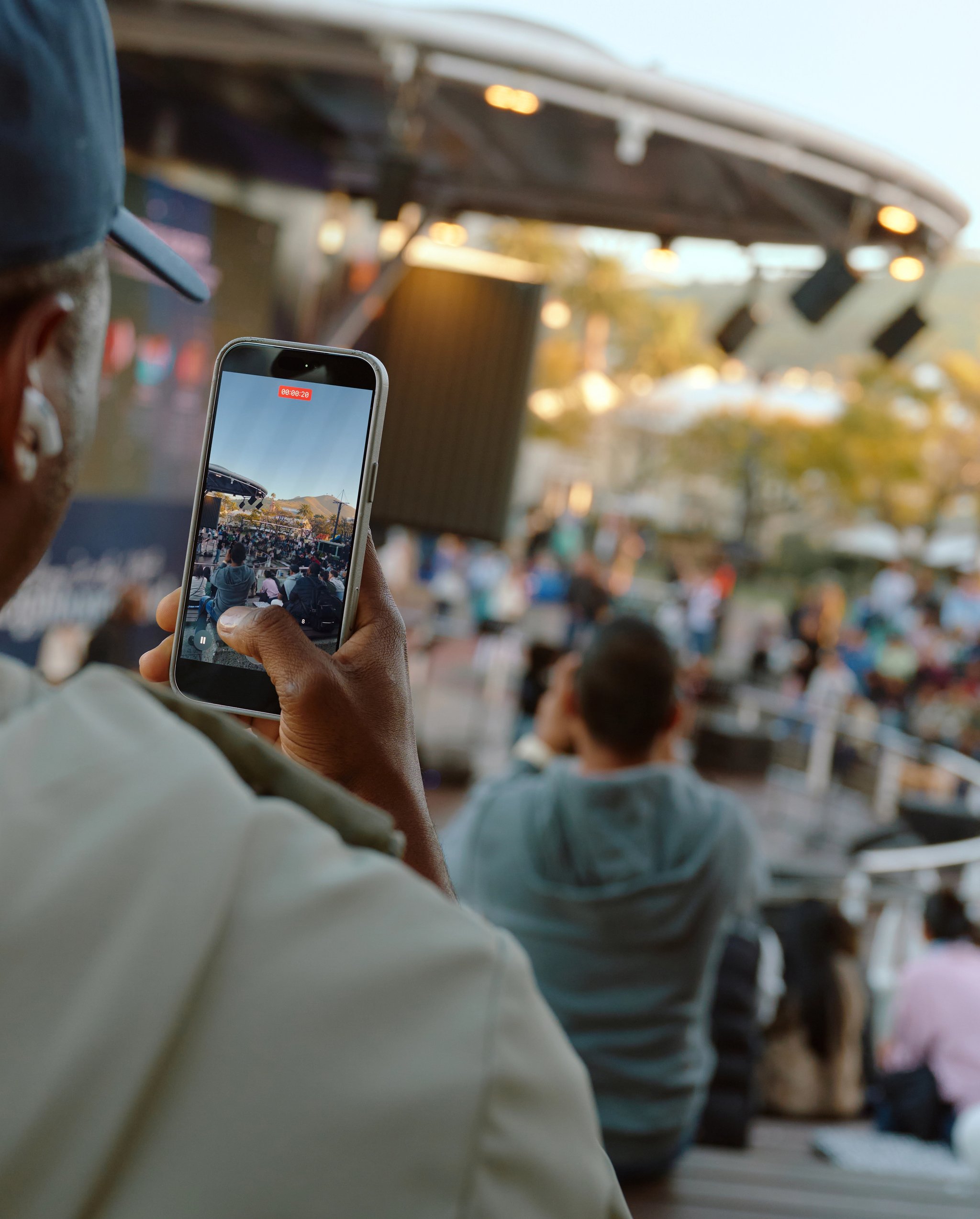
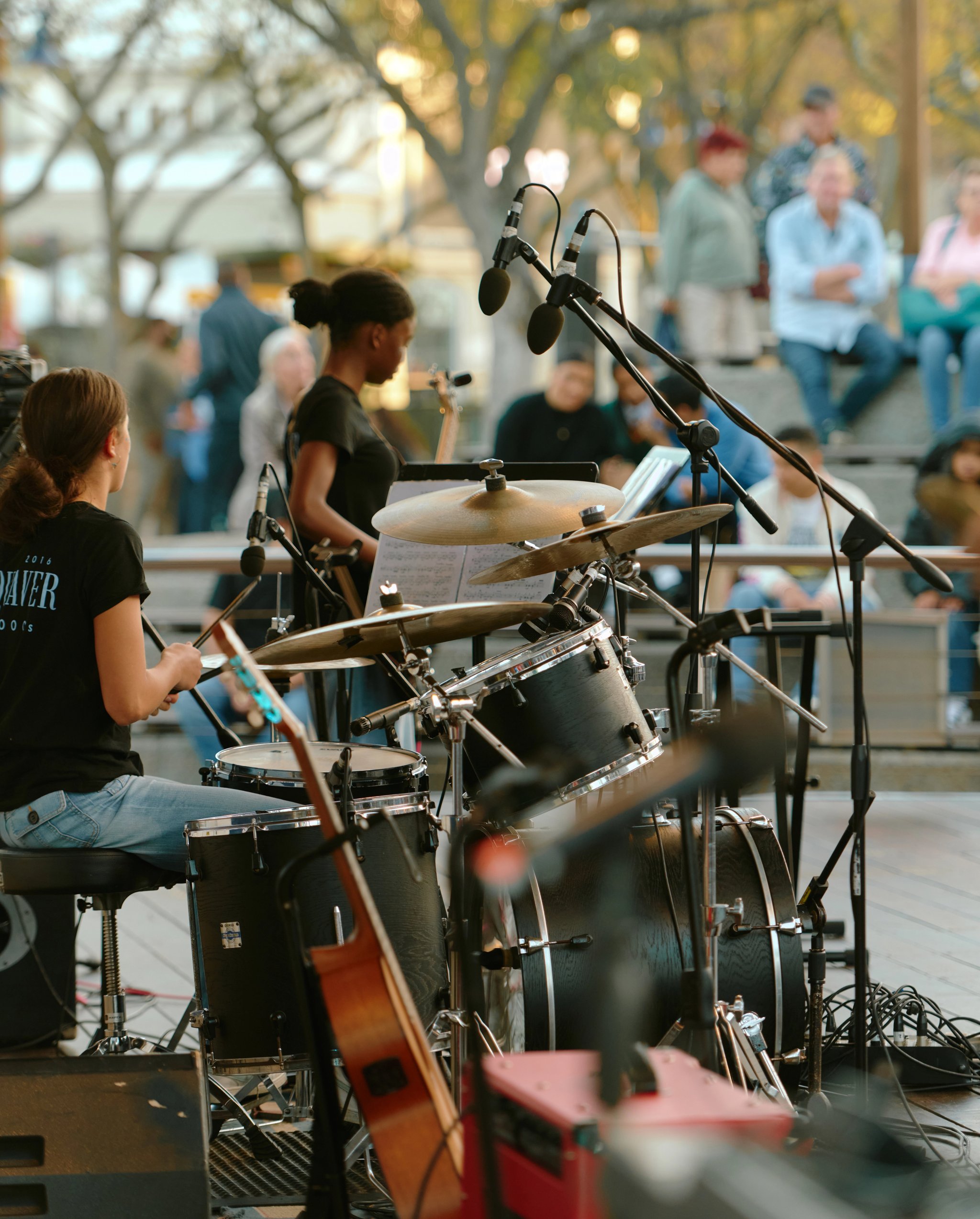

From a working harbour established in 1860 to one of Africa’s most evolved mixed-use precincts, the V&A Waterfront has always grown with purpose. Today, that story continues as new developments strengthen the neighbourhood, open up access, and create long-term value for Cape Town.
Development that works harder for more people
Development at the V&A Waterfront is not only about new buildings. It’s about shaping a precinct that works hard for people. We do this through better public spaces, improved access, new homes, hospitality, retail, commercial opportunities, sustainability-led design and stronger connections between the city, the harbour and the Atlantic coastline.
For people
More public space, better access to the ocean and new ways to experience the precinct.
For business
Constantly evolving commercial, retail, hospitality and investment opportunities.
For Cape Town
Stronger links between the Waterfront, the CBD, the harbour and the Atlantic Seaboard.
For the future
Sustainable, resilient and responsible development that supports long-term value.
The Waterfront’s next chapter
The V&A Waterfront continues to evolve with developments that improve how people live, work, visit and connect with the neighbourhood. Explore the projects currently shaping our next chapter, including the immediate pipeline for the Granger Bay and Canal districts.

Canal District
Quays District
Clock Tower District
East Pier District
Dry Dock District
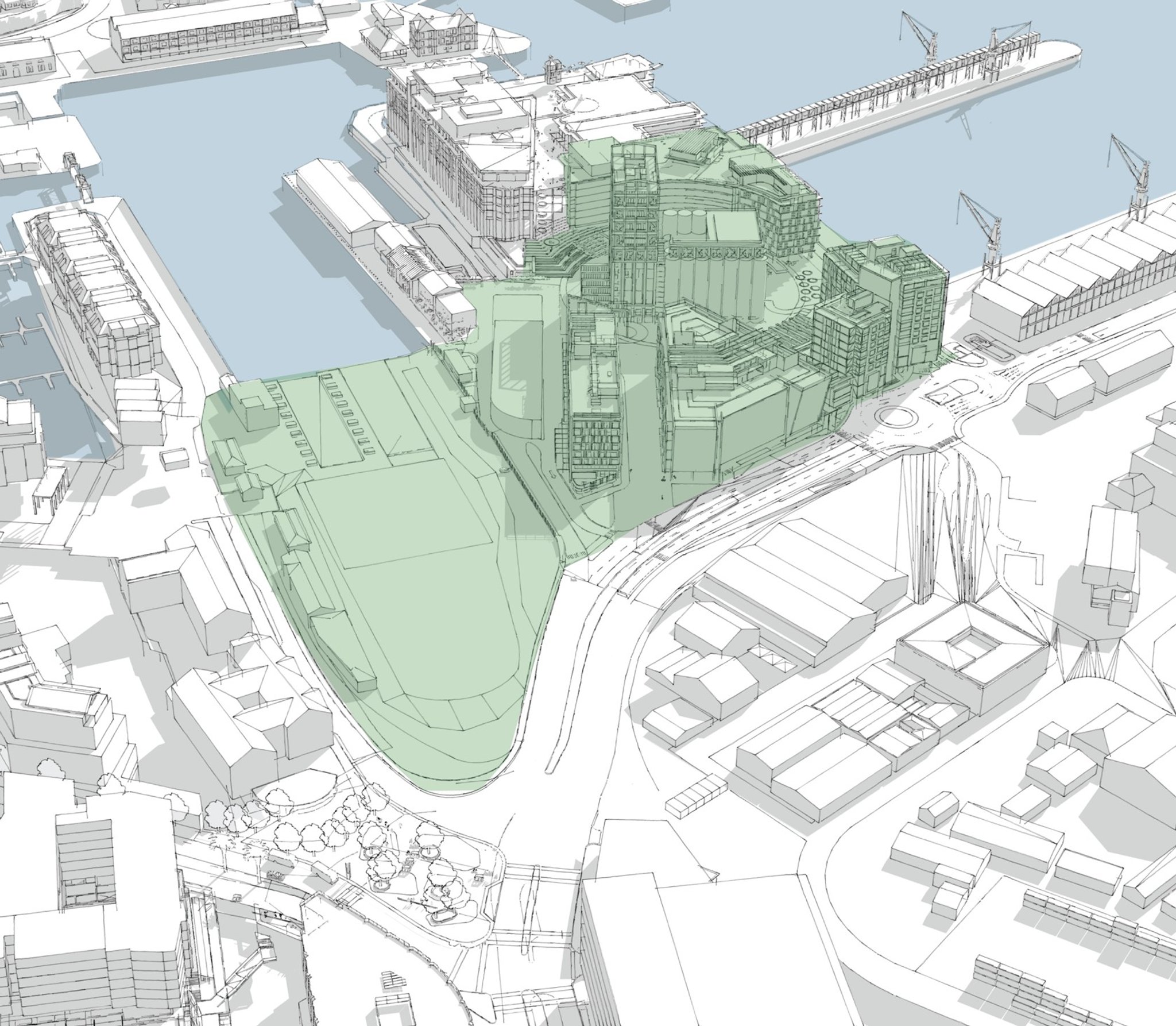
Silo District
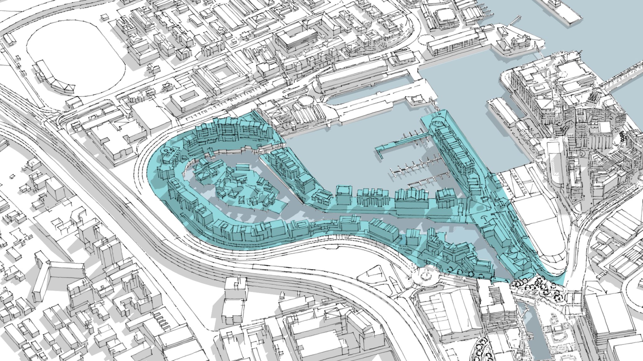
Marina District
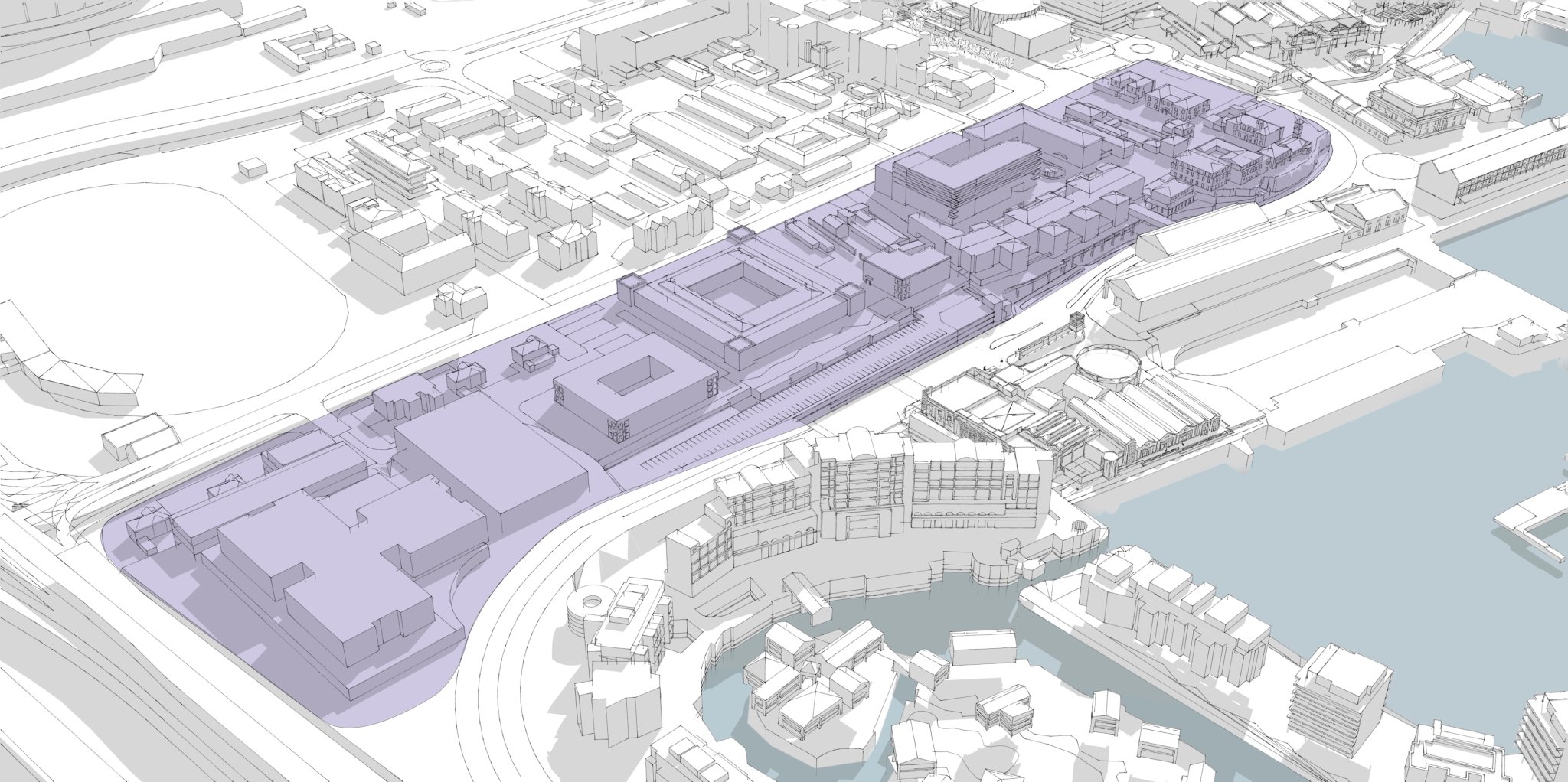
Portswood Ridge District
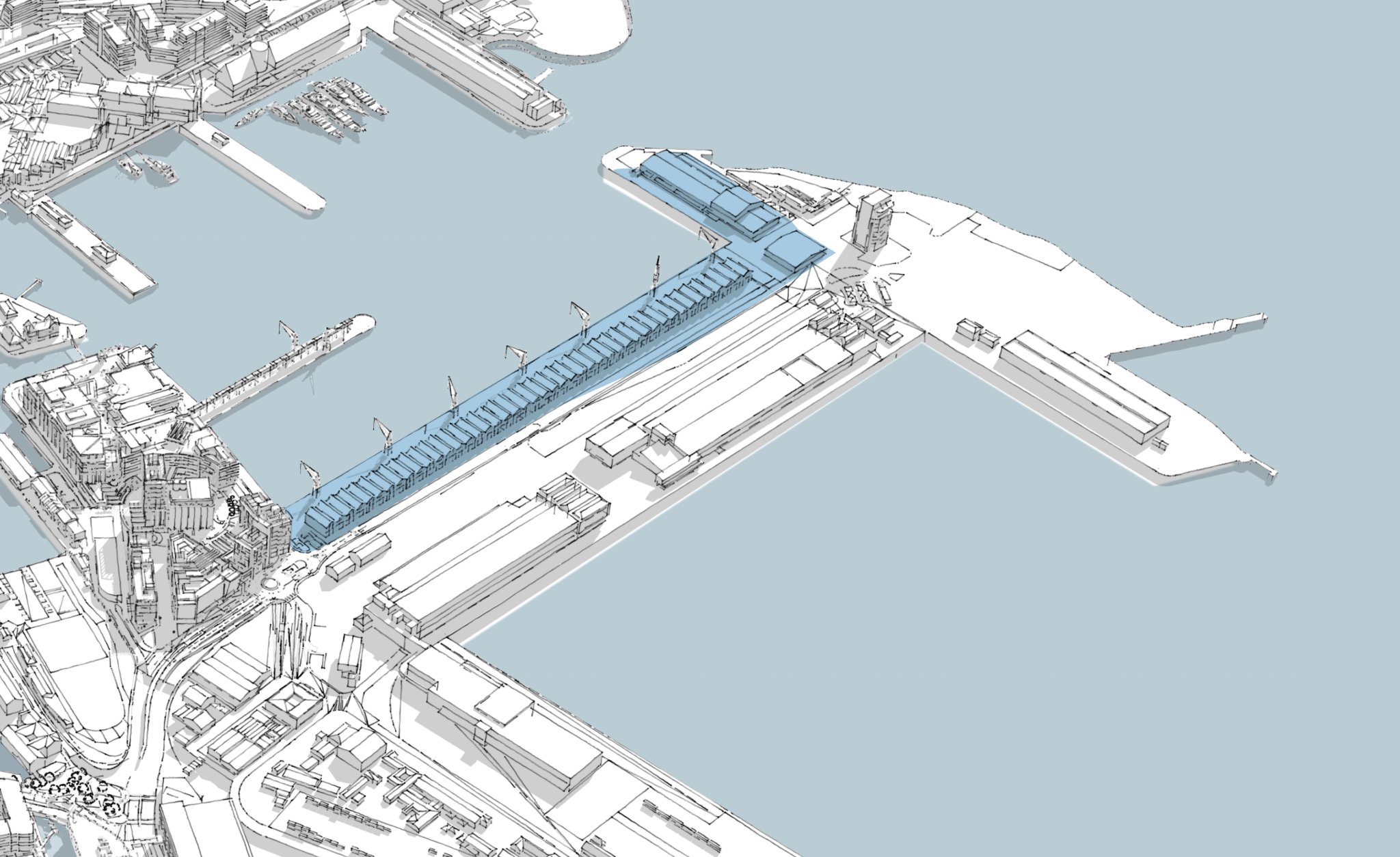
South Arm District
Granger Bay District comes to life
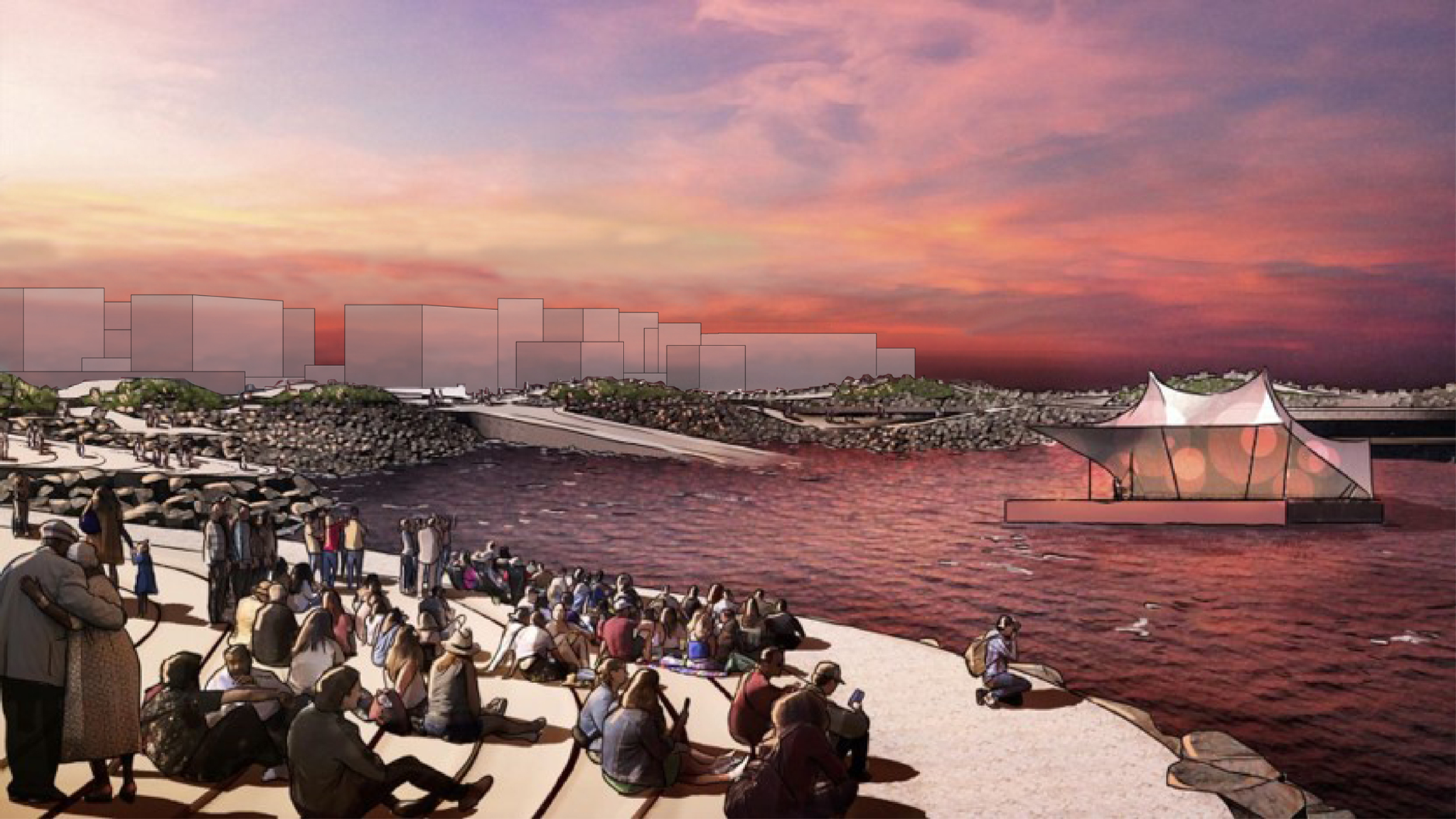
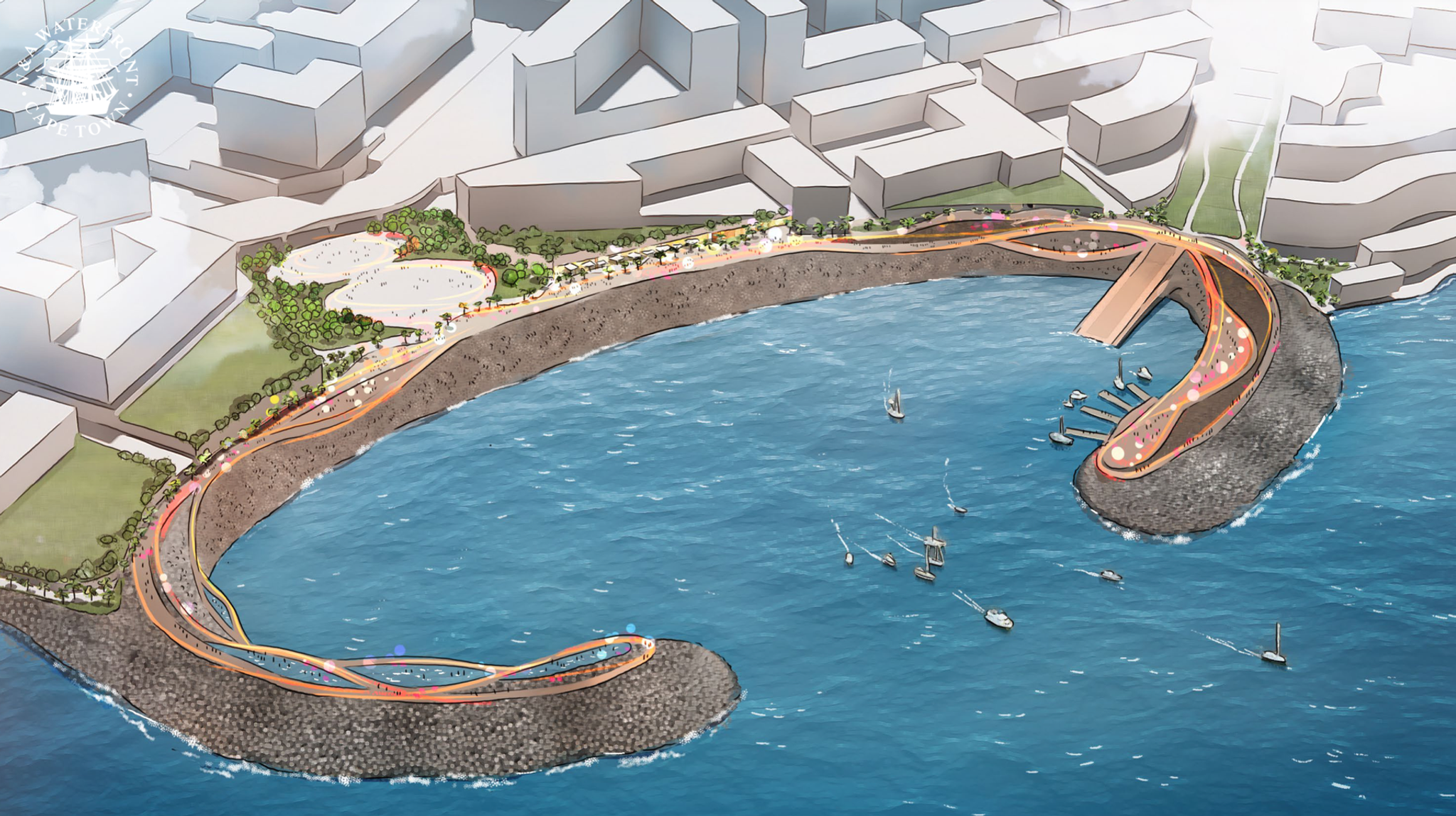
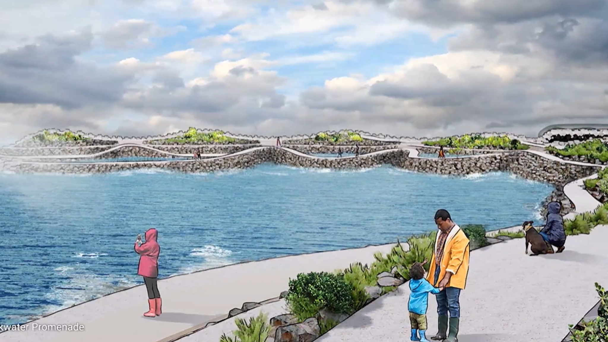
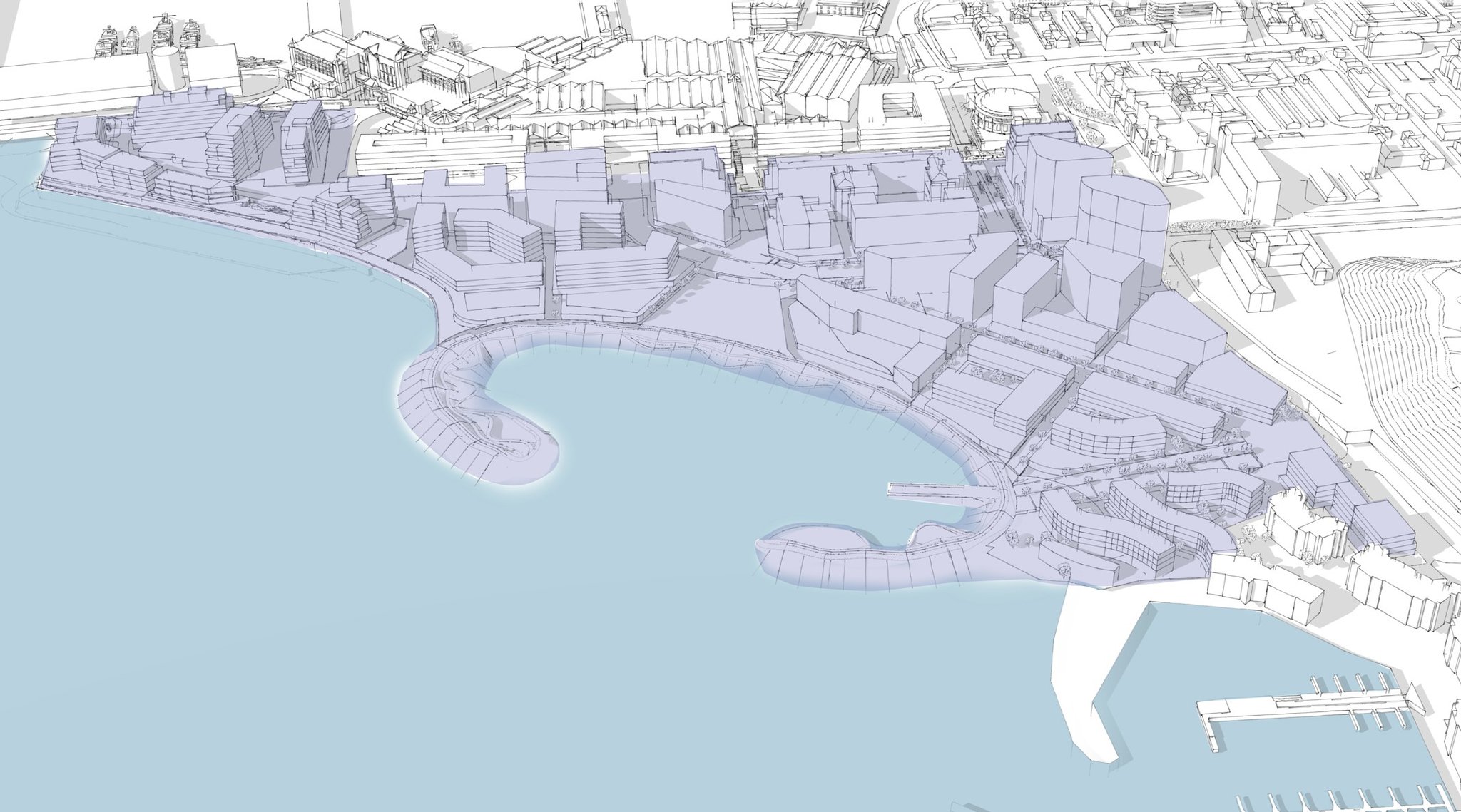
A new stretch of Cape Town’s Atlantic coastline is opening up to the city. Over the next 15 to 20 years, this R20 billion development will bring new homes, hotels, jobs, public space and a protected bay for swimming, kayaking and boating. A 540-metre seawall will help protect the coastline, while a new coastal walkway will connect the V&A directly to the Sea Point promenade.
A new stretch of coastline for Cape Town
Granger Bay is the next major chapter in the Waterfront’s story, a long-planned extension toward the Atlantic Seaboard. First identified in the V&A’s 1989 Development Framework, the former industrial site has been restored for transformation into a coastal neighbourhood shaped for public access, environmental protection and long-term urban value.

Outdoor entertainment
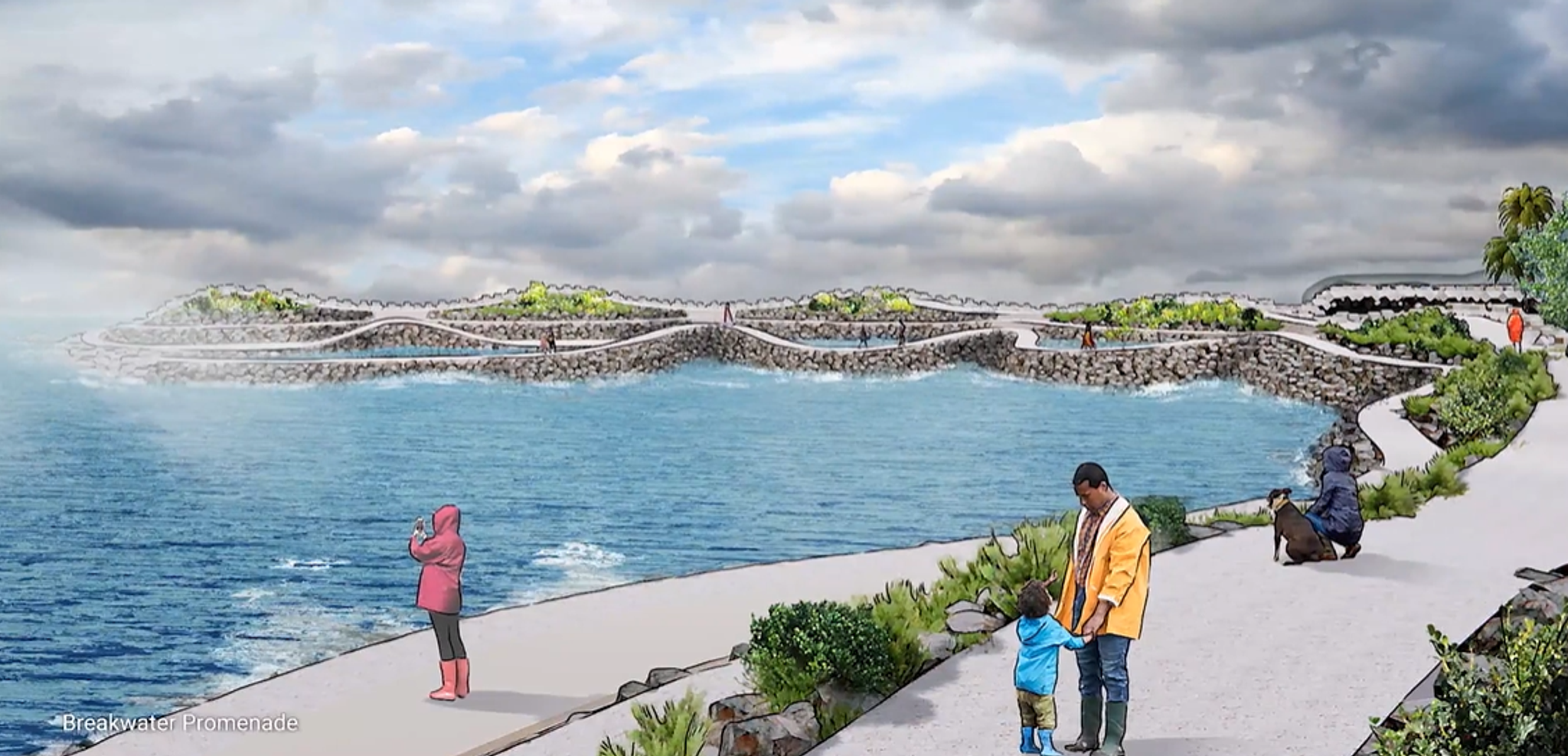
Pathways in winter
Pathways in winter
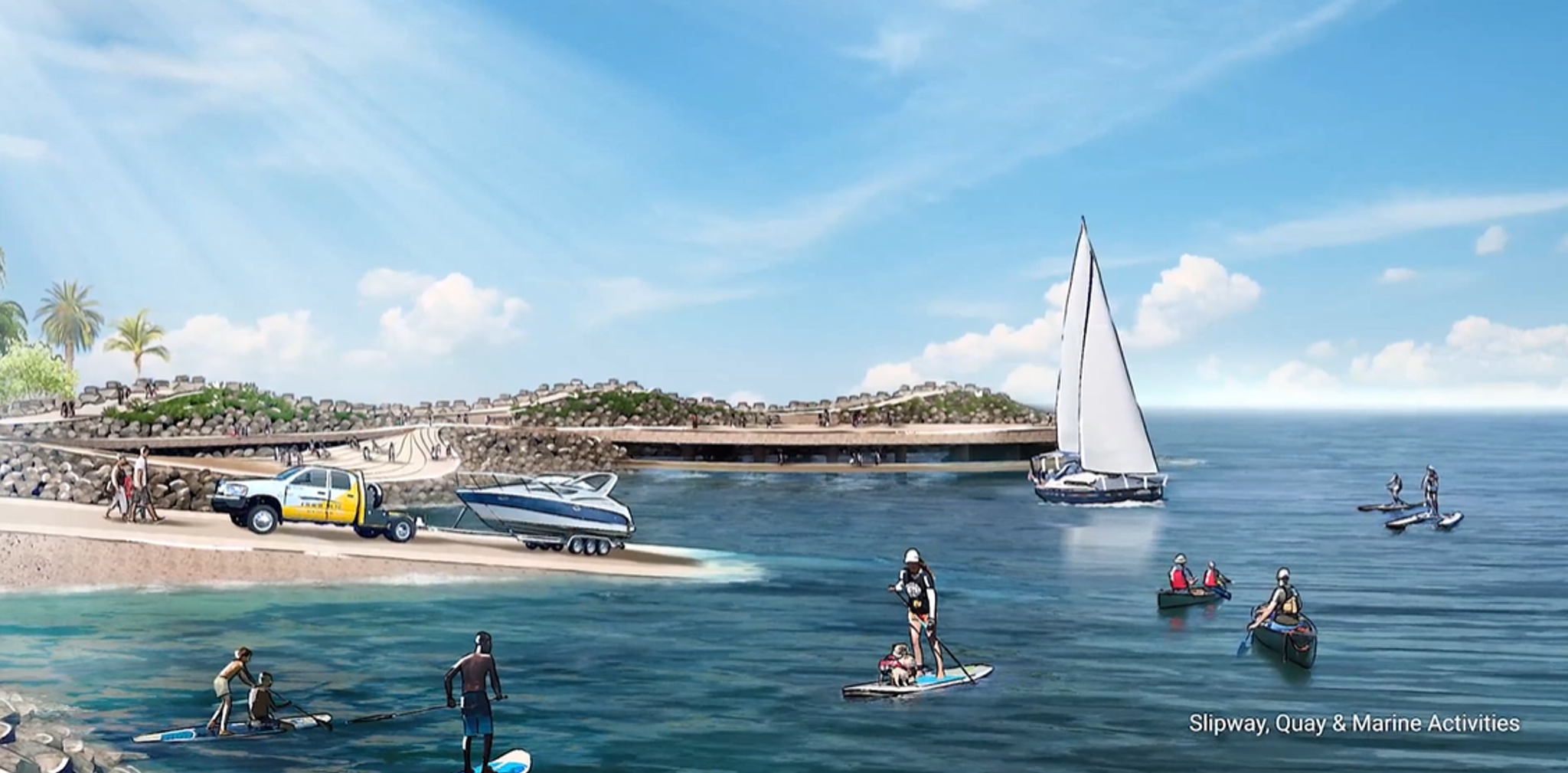
Slipway, quay and marine activities
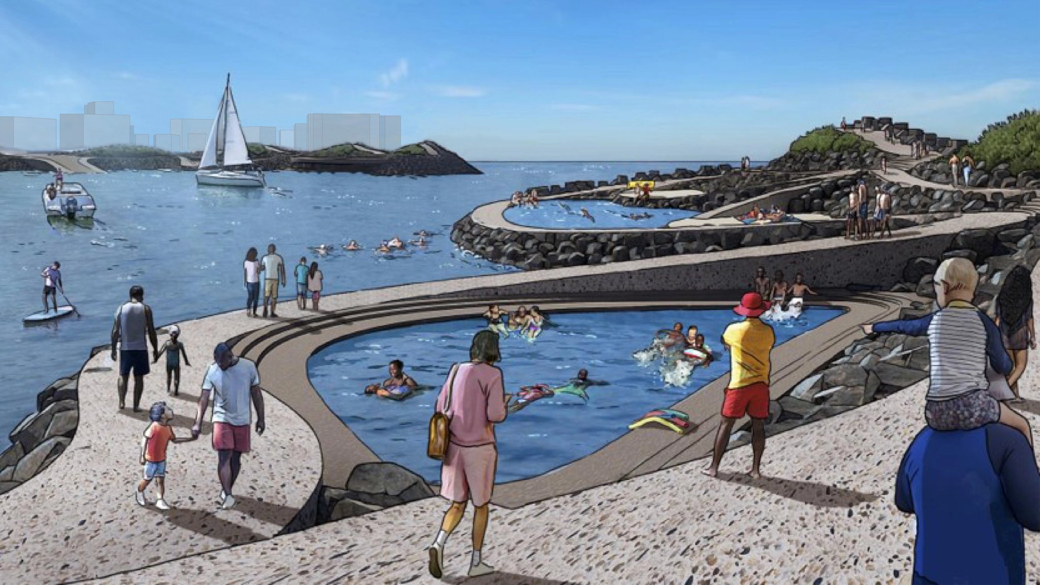
Tidal pools
Tidal pools
Building a bay for many generations
A bay that opens onto the ocean and invites everyone in, offering safe, accessible spaces for living, gathering and belonging across generations. Watch the modelling video to see the future bay take shape.
Granger Bay District: Phase 1
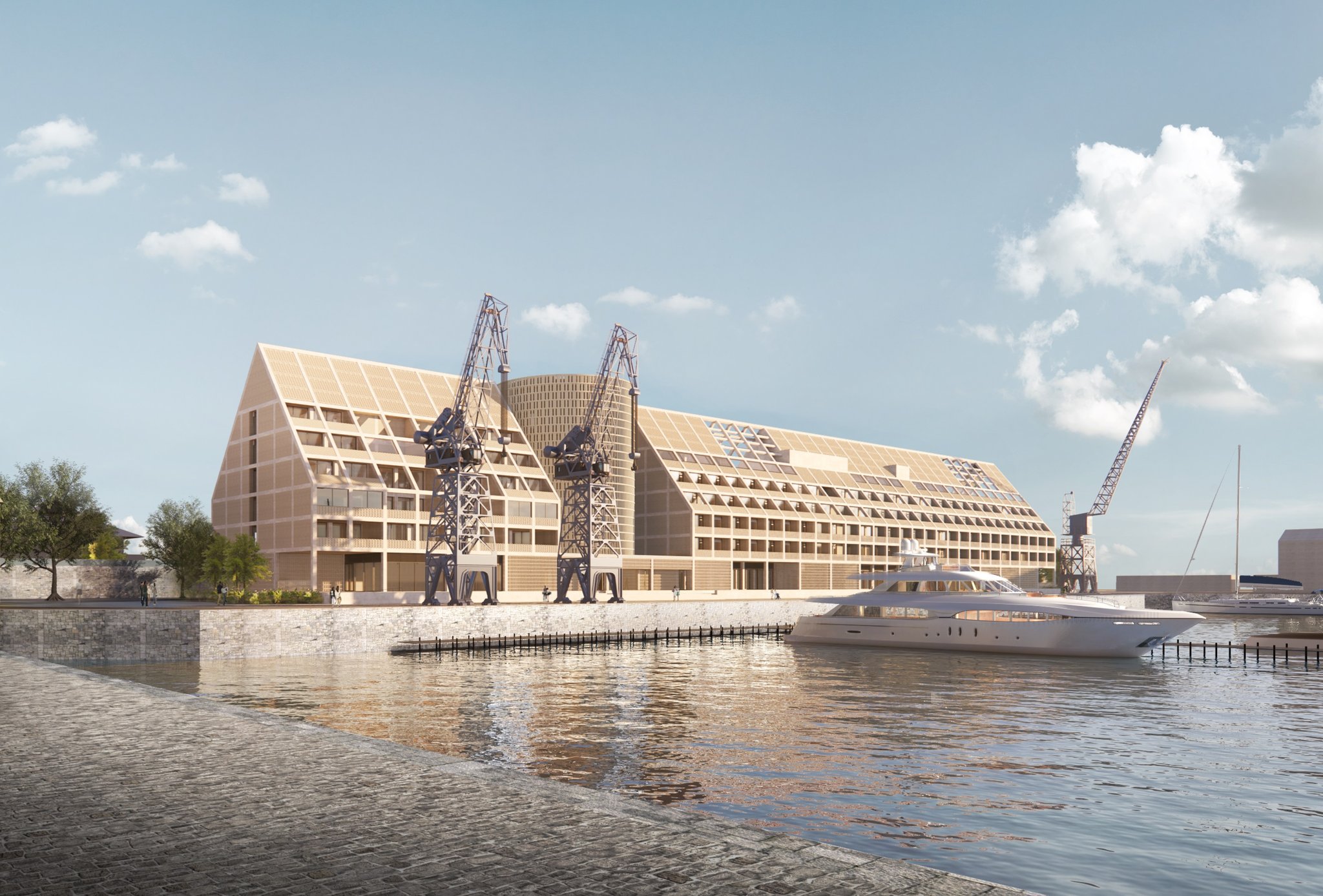
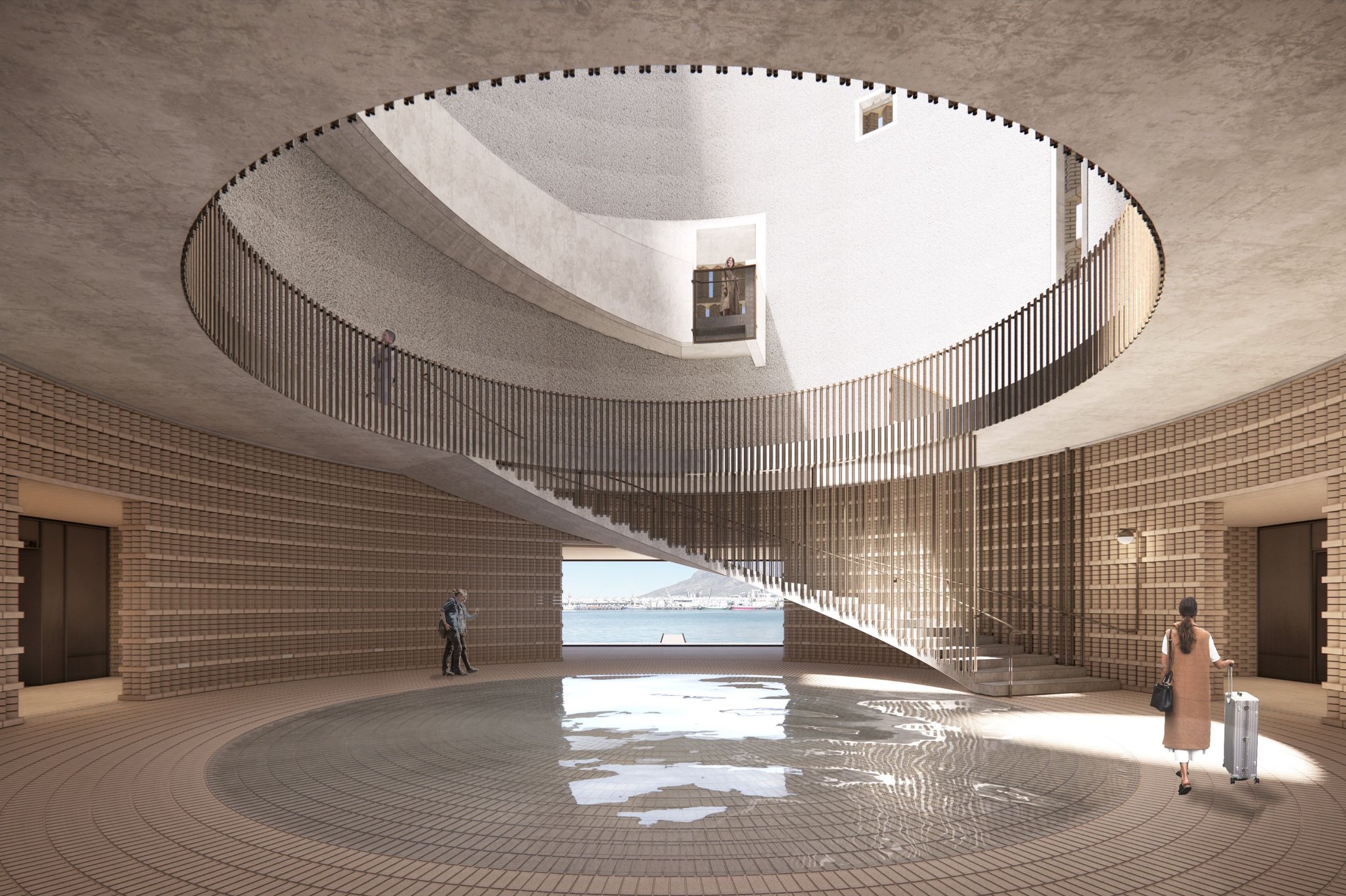
The first phase of Granger Bay brings together residential, hospitality and marine uses to establish the district as a new coastal neighbourhood. This phase includes The Bower, Build-to-rent apartments, the Cape Town EDITION hotel and the Superyacht Marina, each contributing to a more active, connected and accessible waterfront edge, setting the foundation for Granger Bay’s transformation.

Cape Town EDITION
Cape Town EDITION

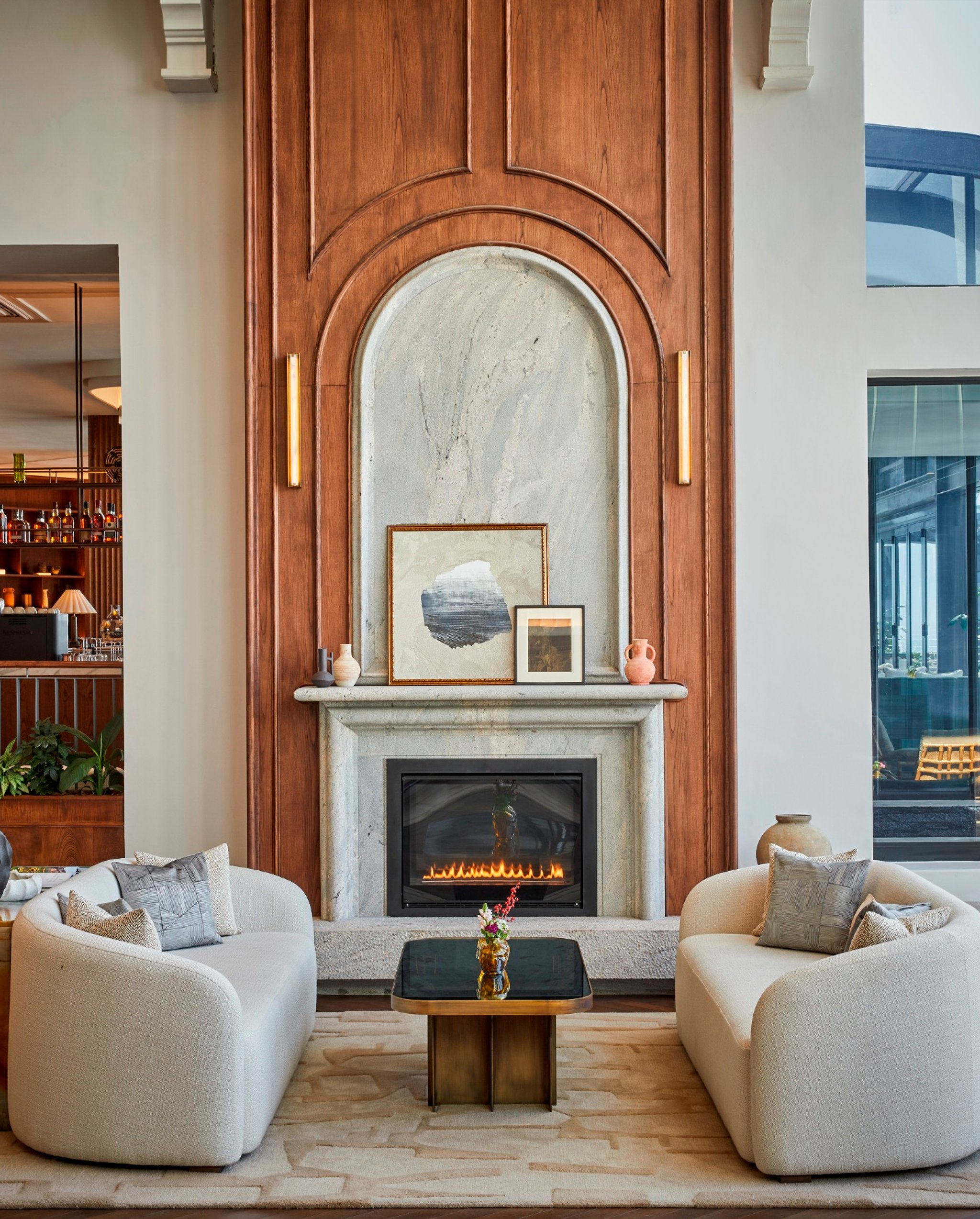
Entrance of the Cape Town EDITION
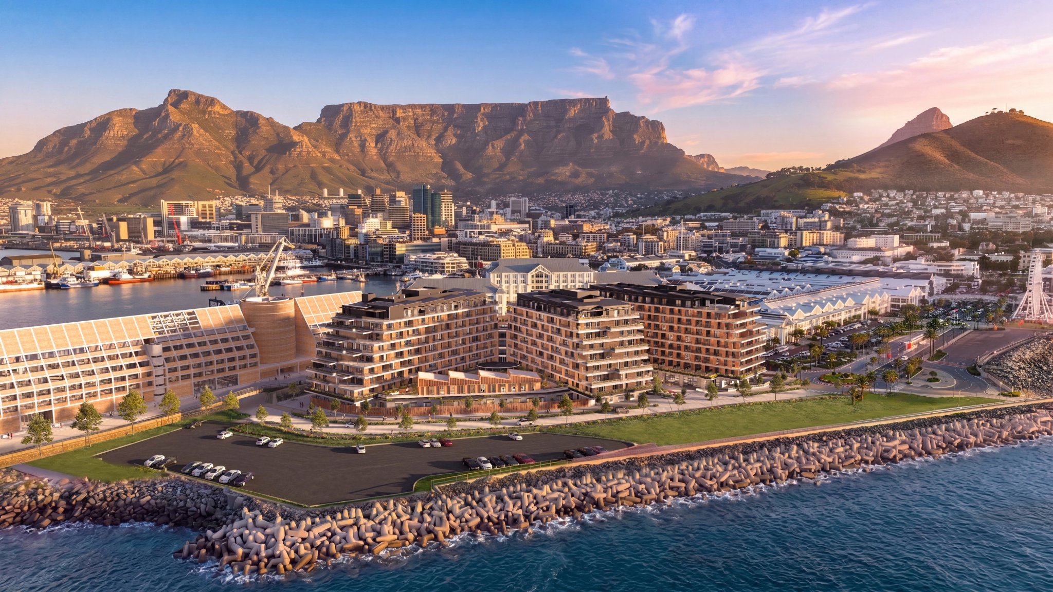
The Bower Aerial View
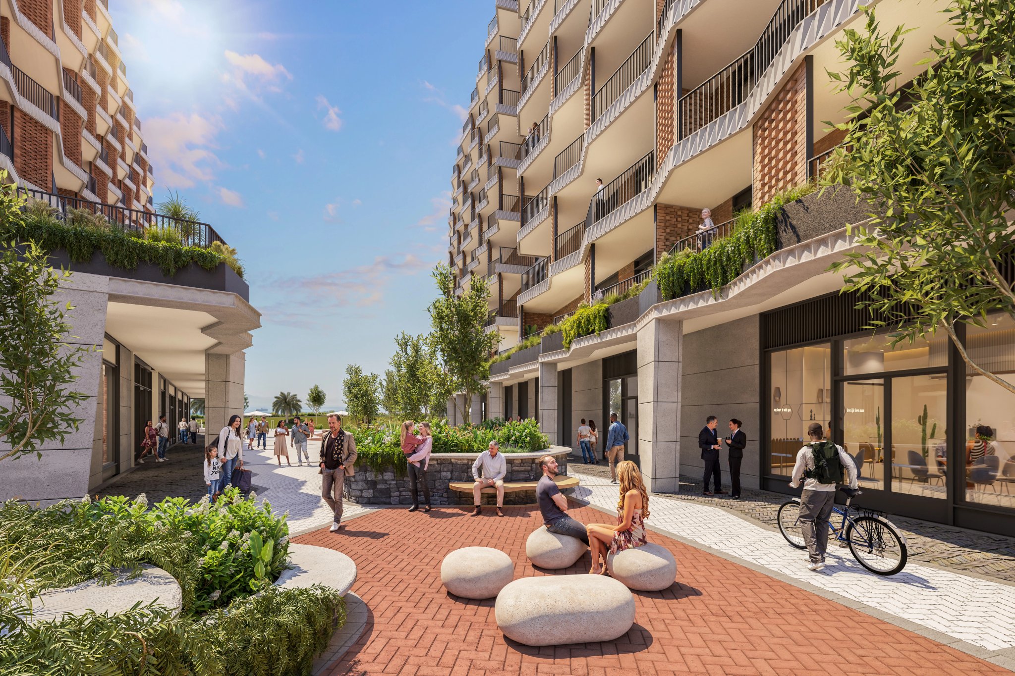
Shared garden space at The Bower
Granger Bay Vision: Questions and Clarifications
The Granger Bay vision remains subject to all required regulatory approvals, including national government approval for any proposed land reclamation.
The following questions clarify the current status of the Granger Bay vision, including the approval process and proposed land reclamation.
35 years of growth
The first stone
The V&A Waterfront was founded in 1988 to reconnect Cape Town with the ocean, revitalise the working harbour and create new economic opportunity.
Its first phase introduced a new harbour destination, shaped by early tenants such as Mitchell’s Brewery and Bertie’s Landing.
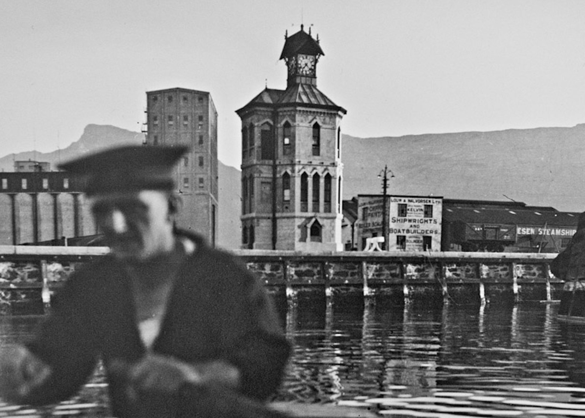
The first stone
The V&A Waterfront was founded in 1988 to reconnect Cape Town with the ocean, revitalise the working harbour and create new economic opportunity.
Its first phase introduced a new harbour destination, shaped by early tenants such as Mitchell’s Brewery and Bertie’s Landing.
The neighbourhood takes shape
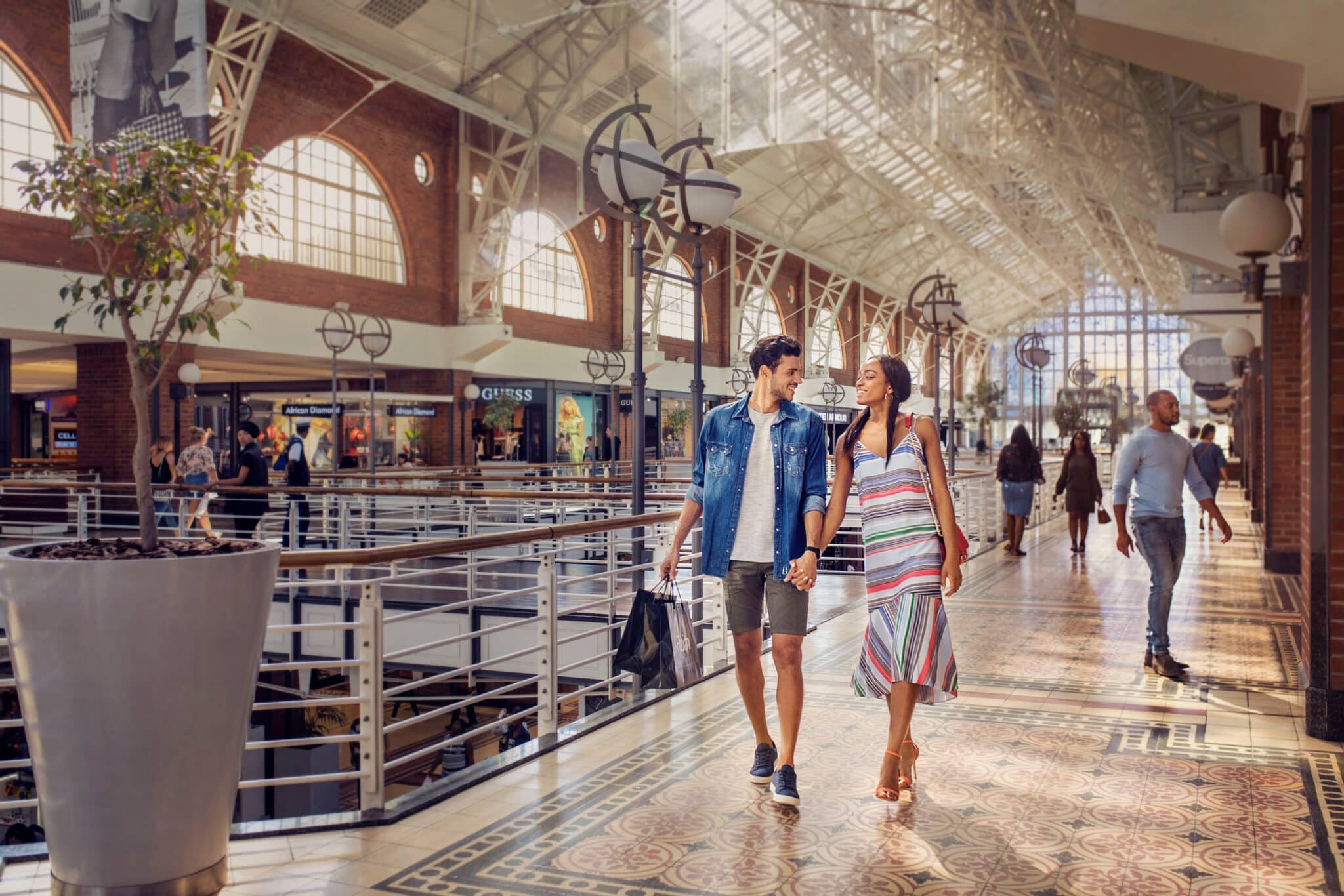
Victoria Wharf opened, the UCT Graduate School of Business moved into the old Breakwater Prison, and early hotels, attractions and offices helped shape the precinct.
Key developments: Victoria Wharf; Two Oceans Aquarium; Portswood Hotel; Commodore Hotel; City Lodge; Table Bay Hotel; Cape Grace; Portswood Square Office Park; UCT Graduate School of Business.

The winds of change
New ownership brought a shift in intention, while the One&Only opened, the Marina matured and the Clock Tower District took shape.
Key developments: BP South Africa head office; The One&Only; Marina residential development; Clock Tower District.

Building towards something extraordinary
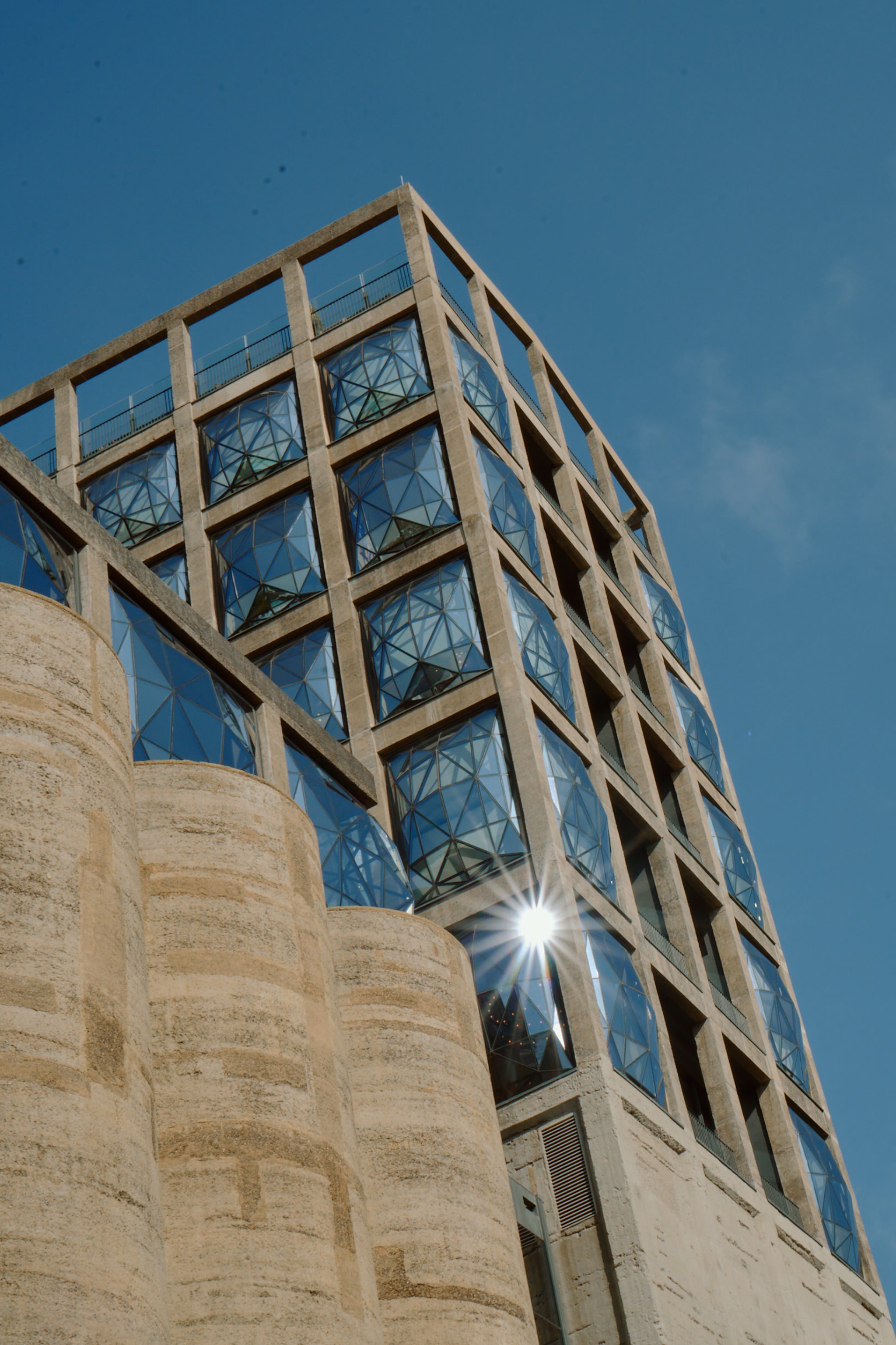
The conversion of the grain silo into Zeitz MOCAA began, while the wider Silo District, Watershed and Workshop17 added new cultural, commercial and creative energy.
Key developments: No. 1 Silo; No. 2 Silo; Zeitz MOCAA construction; The Watershed; Workshop17; Clock Tower Shopping Centre refurbishment.

The moment that changed everything
Zeitz MOCAA opened, the Silo District was completed around it, and Battery Park brought new public space into the Canal District.
Key developments: Zeitz MOCAA; Radisson RED Hotel; The Silo Hotel; Waterway House; Battery Park; Cape Town Cruise Terminal Phase 2.

Still growing
Victoria Wharf expanded, The Ridge set a new benchmark for sustainable development, Makers Landing opened, and Granger Bay emerged as the next major coastal development.
Key developments: Victoria Wharf expansion; The Ridge; Makers Landing; Dock Road Junction; Canal District ongoing developments; Granger Bay; retail and pedestrian access expansion.

Development shaped by sustainability
Sustainability is built into how the Waterfront develops, manages and improves the precinct. With 30 Green-rated buildings (the largest concentration anywhere in Africa) every new project is measured against a long-standing commitment to better environmental performance, operational efficiency and responsible urban development.
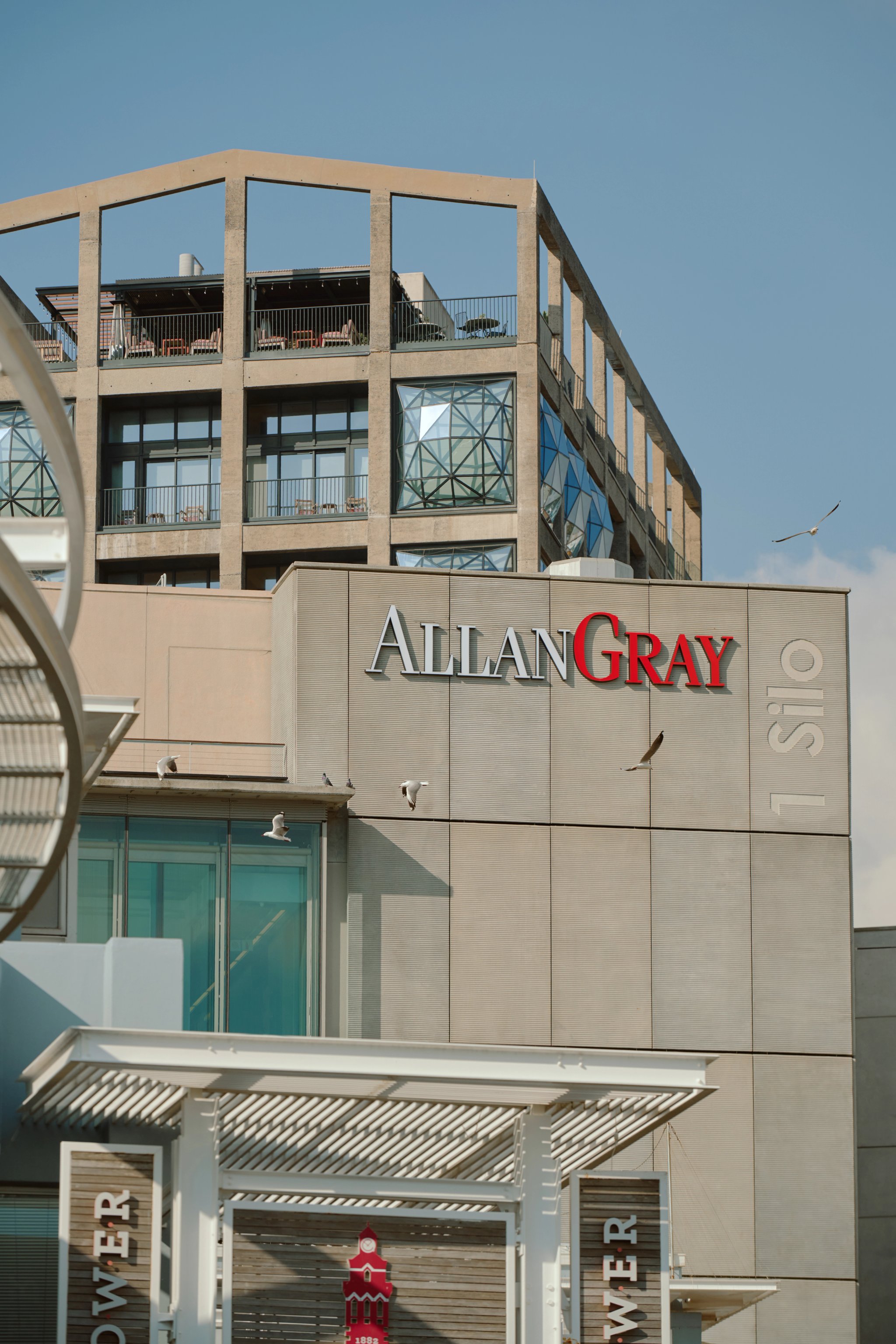
No. 1 Silo
The benchmark for sustainable commercial development in South Africa, No.1 Silo received a 6-star Green Star SA rating and was the first in the Western Cape to do so.
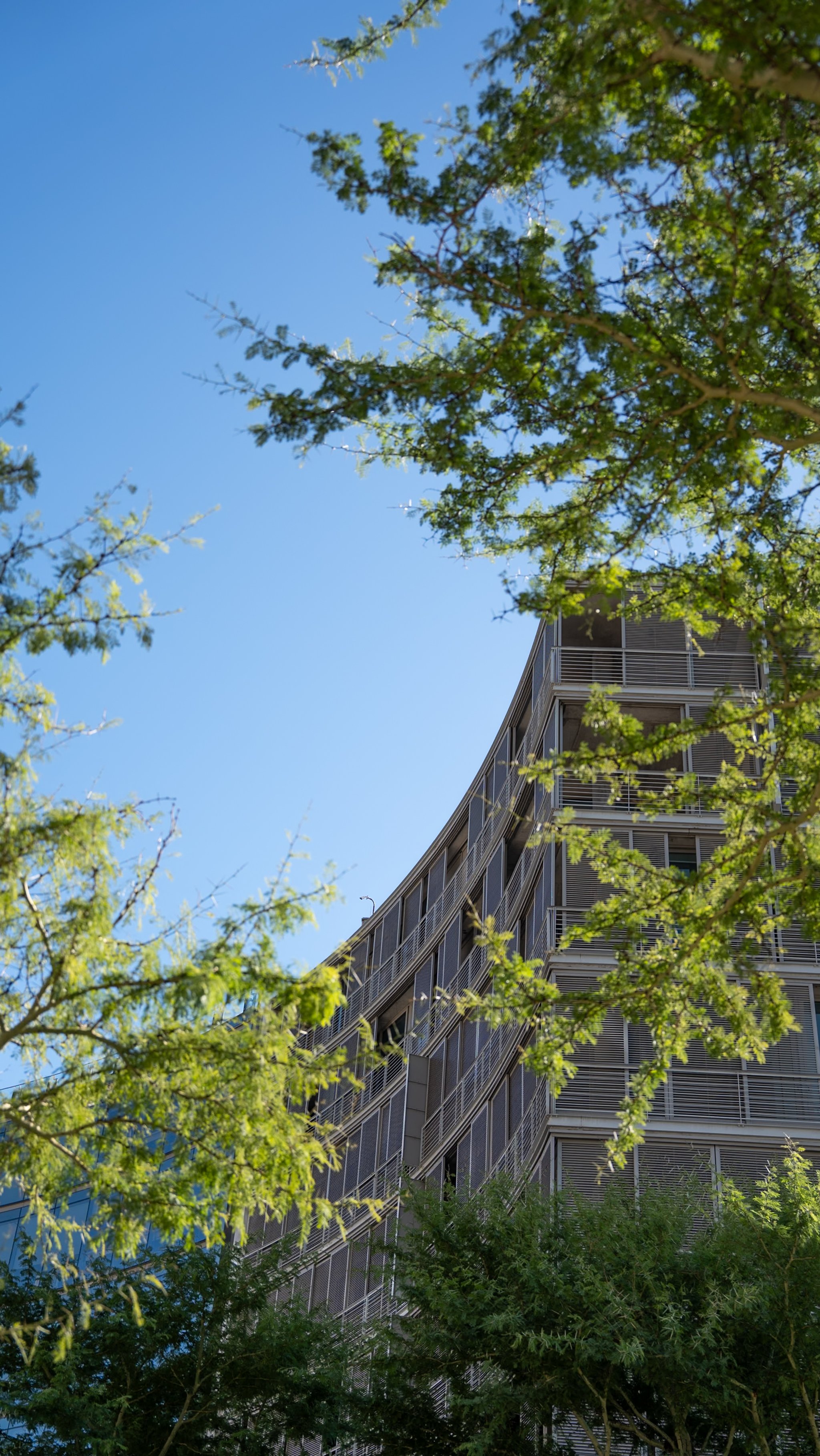
No. 2 Silo
This eight-storey building holds 31 apartments across one and two-bedroom configurations, each with generous terraces looking out over Silo Square and the city.
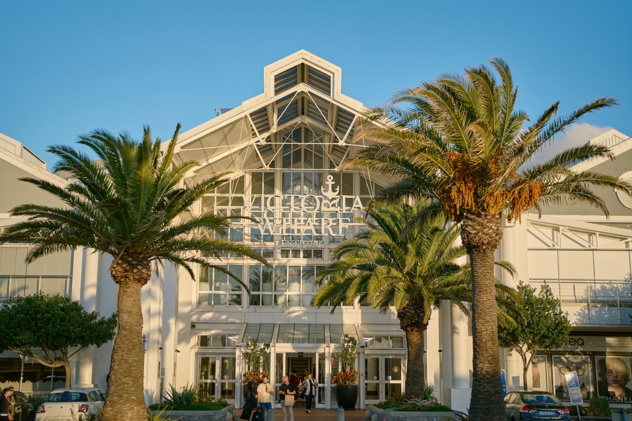
Victoria Wharf Shopping Centre
This building holds a 4-Star Existing Building rating, recognising its operational performance in responsible energy use, efficient water consumption, waste diversion from landfill, and indoor environmental quality.
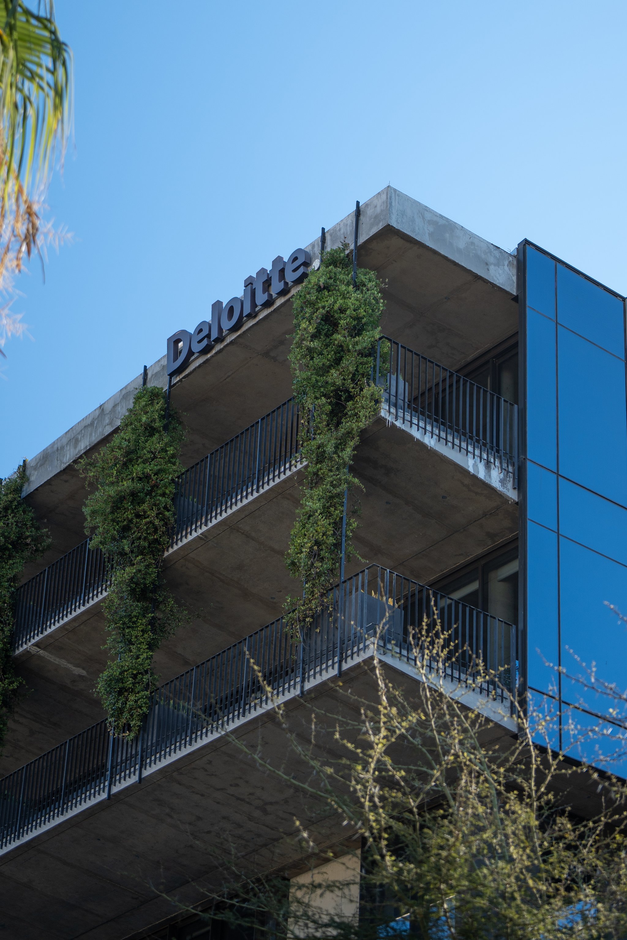
The Ridge
6-Star Green Star Design-rated commercial building, incorporating cross-laminated timber, eco-bricks, natural ventilation, water cooling and solar generation.
Explore our distinct districts
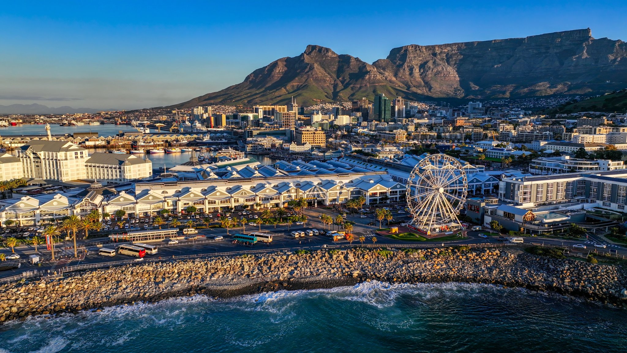
A place shaped by its maritime history, the working harbour of the South Arm, the creative pulse of the Silo District and the distinctive character of each part of its evolving development story. Future plans will build on this foundation, creating new connections, public spaces and opportunities that continue to shape the Waterfront as a vibrant, inclusive neighbourhood.
Granger Bay District
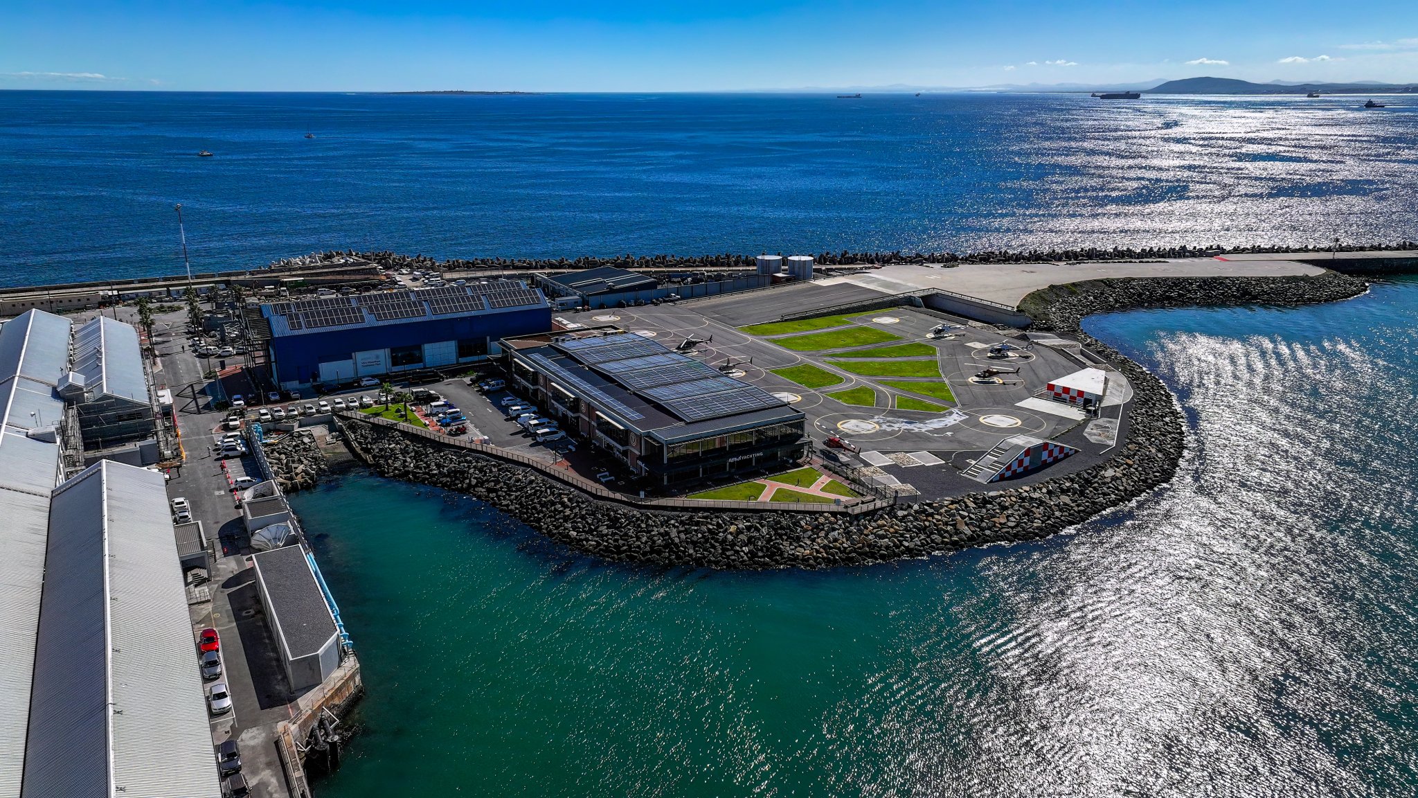
Granger Bay is the neighbourhood’s next chapter. A major development is underway here that will bring thousands of new homes, jobs and a reimagined stretch of waterfront to the water’s edge.
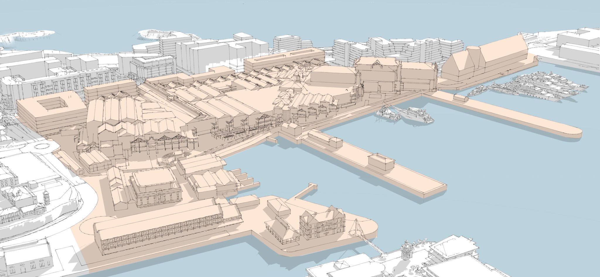
Quays District
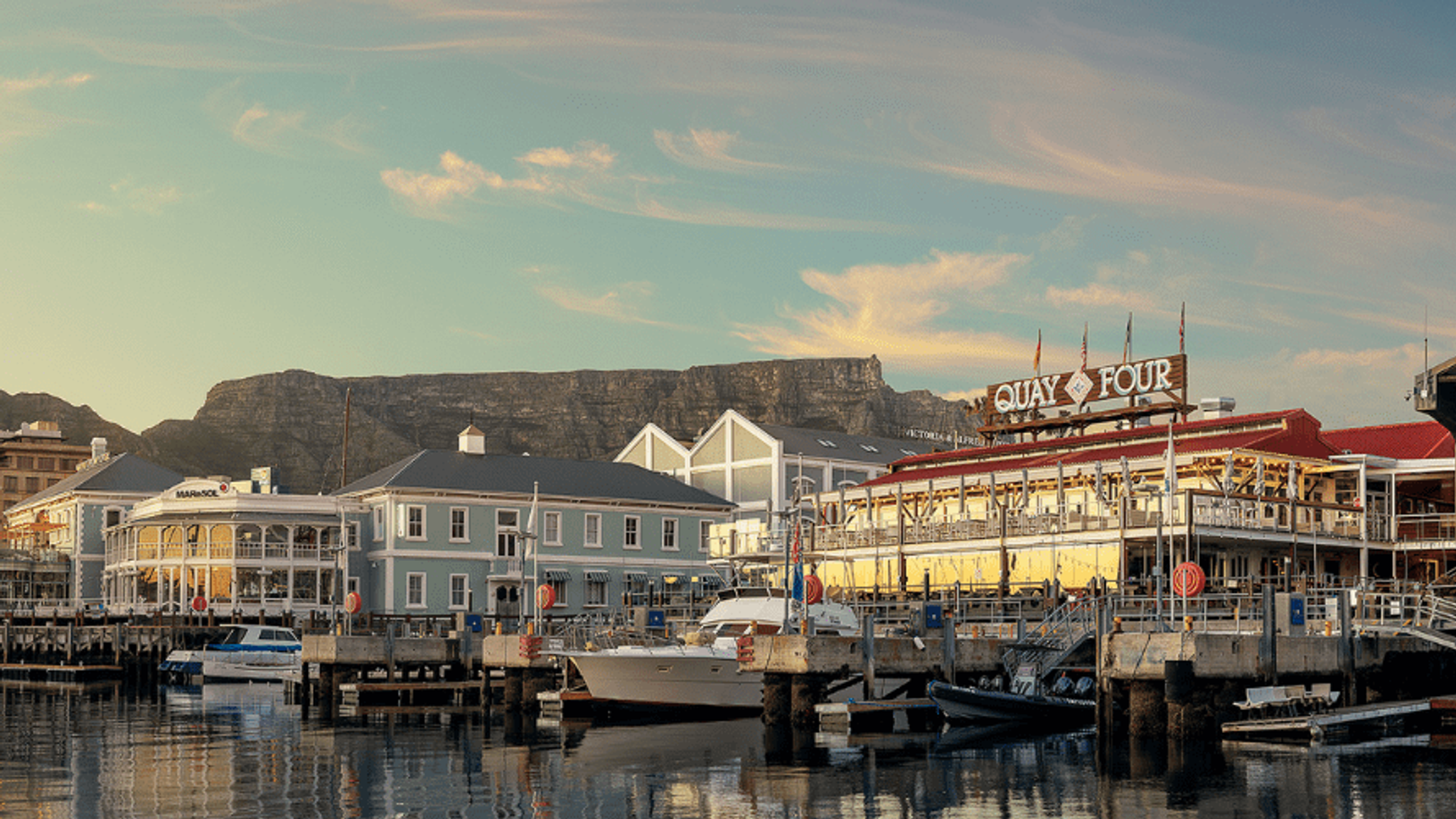
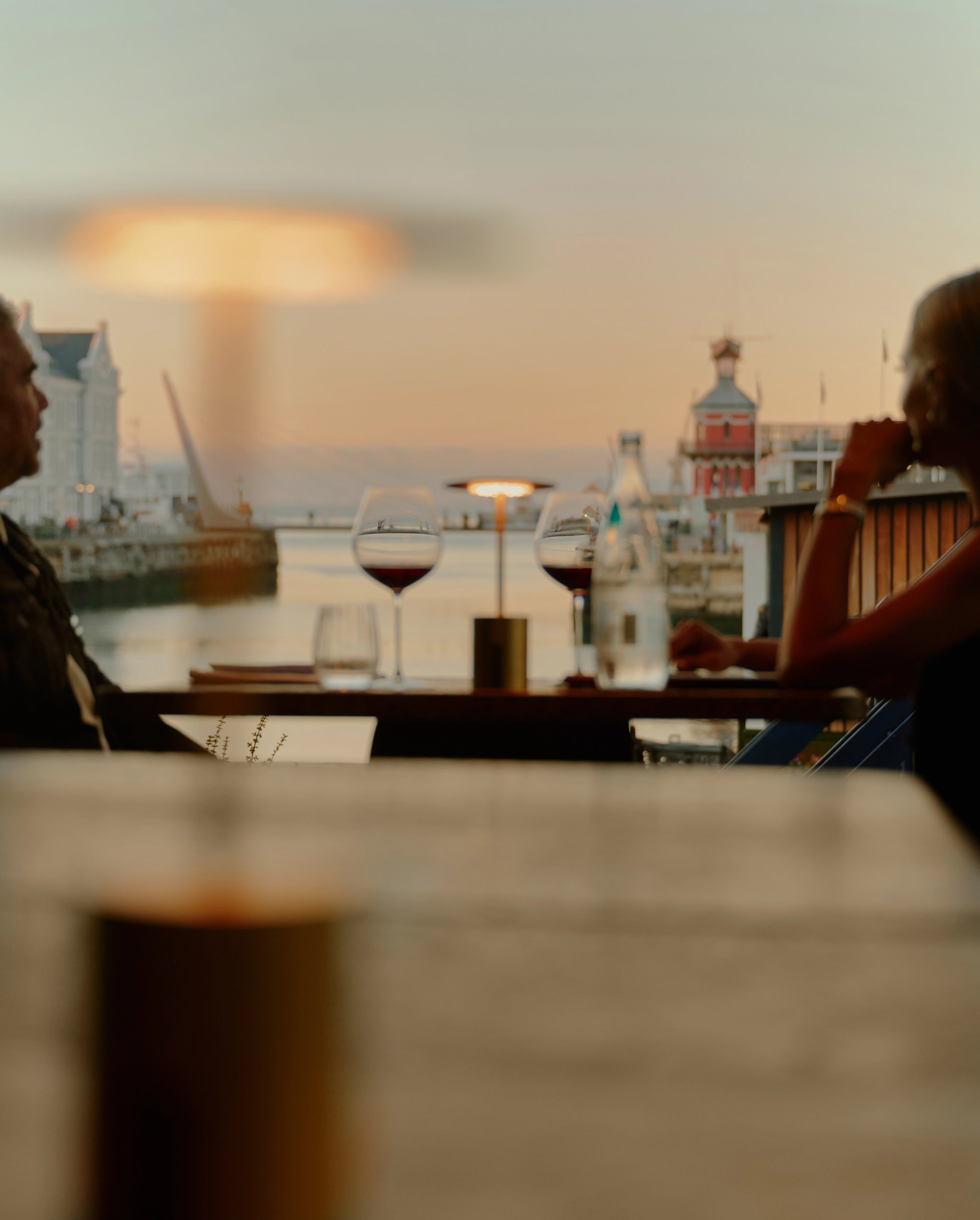
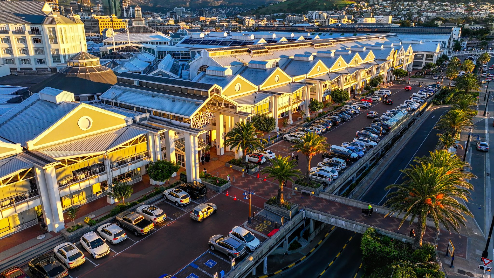
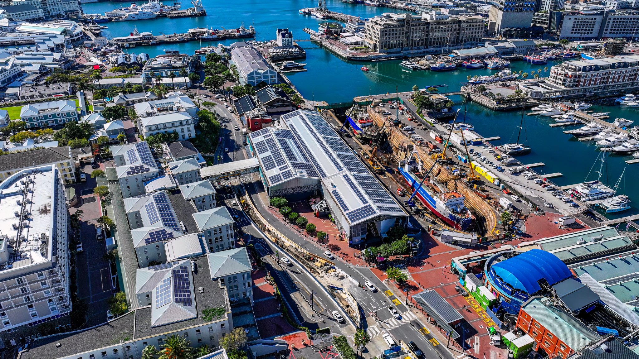
Victoria Wharf has been trading since 1992. The harbour launches sunset cruises from the jetties every evening. Nobel Square, the amphitheatre, the Clock Tower and the waterline are all within a few minutes’ walk of each other. This is the neighbourhood at its most concentrated, where most people arrive and come back to.
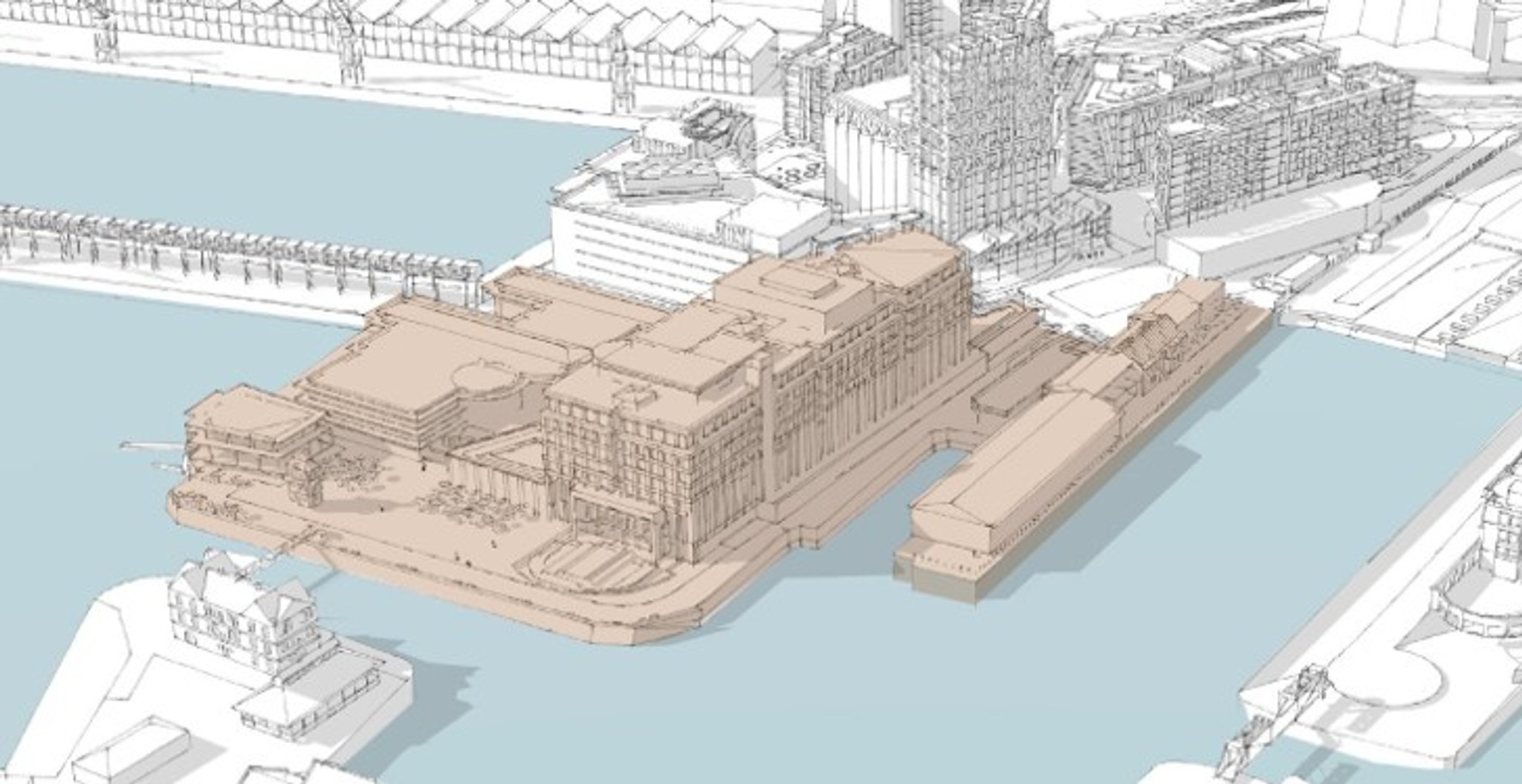
Clock Tower District
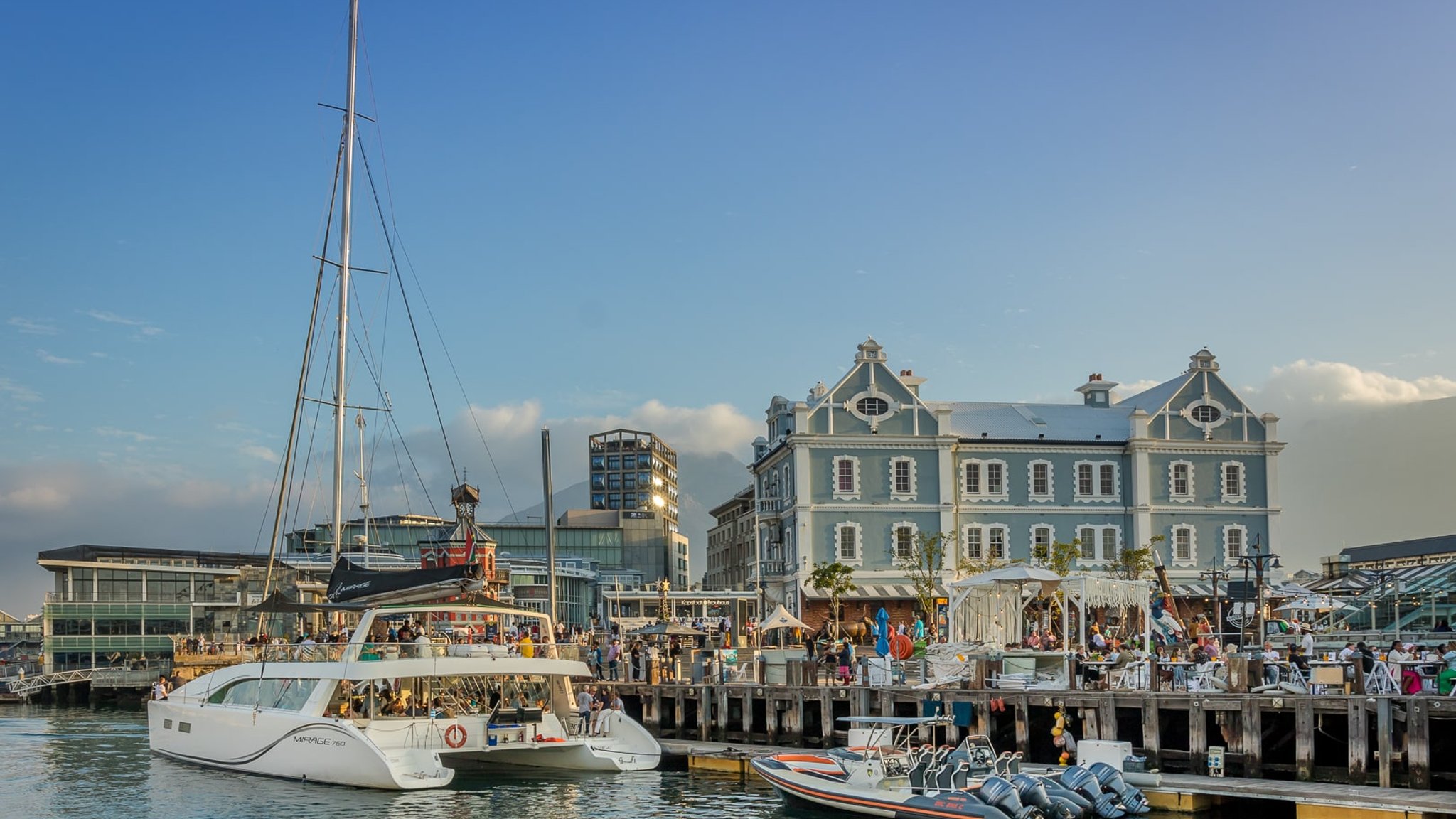
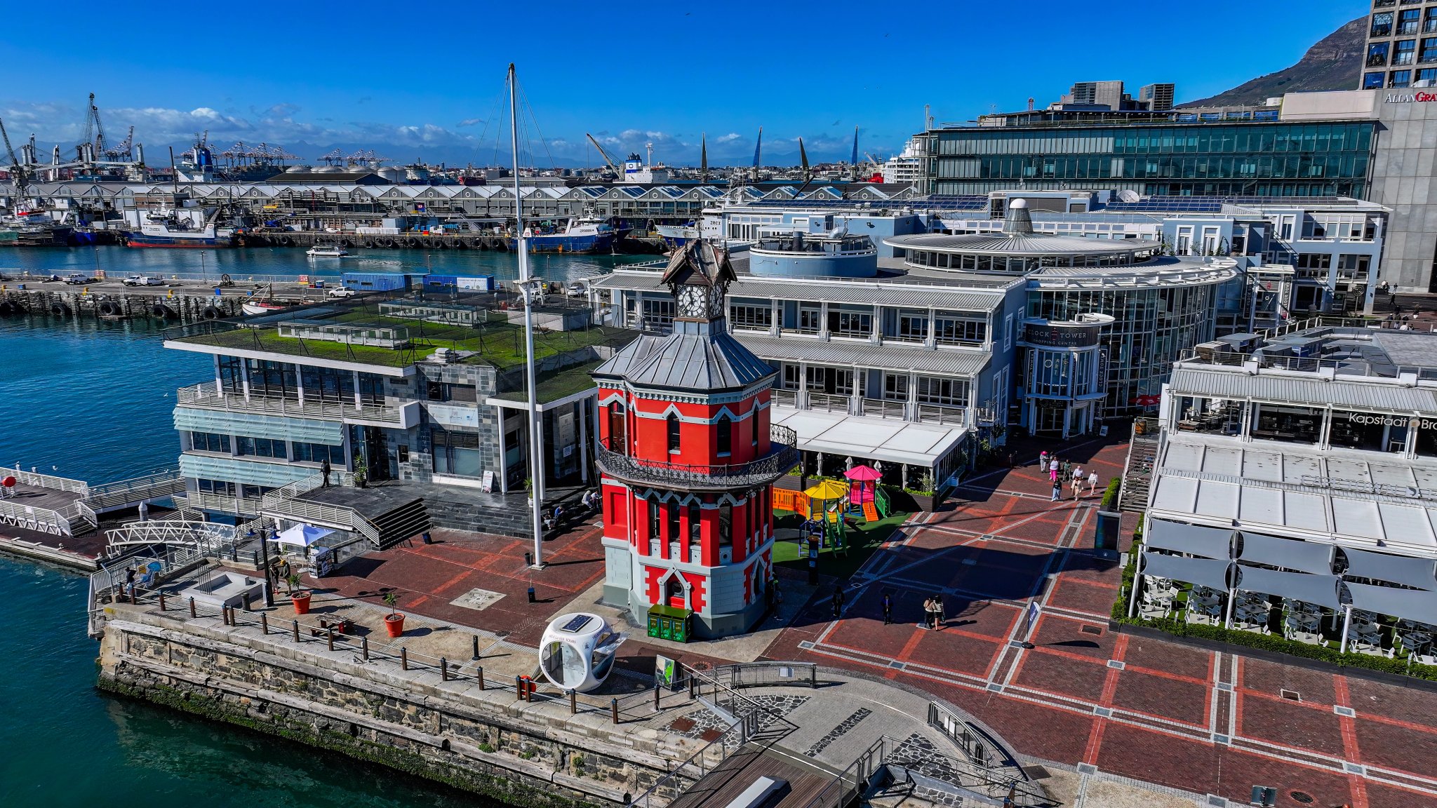
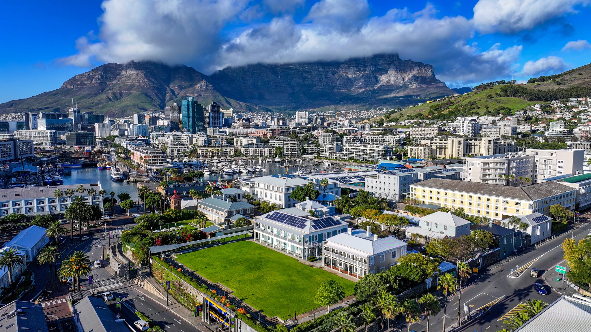
The red clock tower has stood at the entrance to the Alfred Basin since 1882. Its original clock (made in Edinburgh, UK) still runs. Come for the Nelson Mandela Gateway to Robben Island, harbour-facing restaurants and the crossing into the Silo District. Stay, because there’s always more to discover
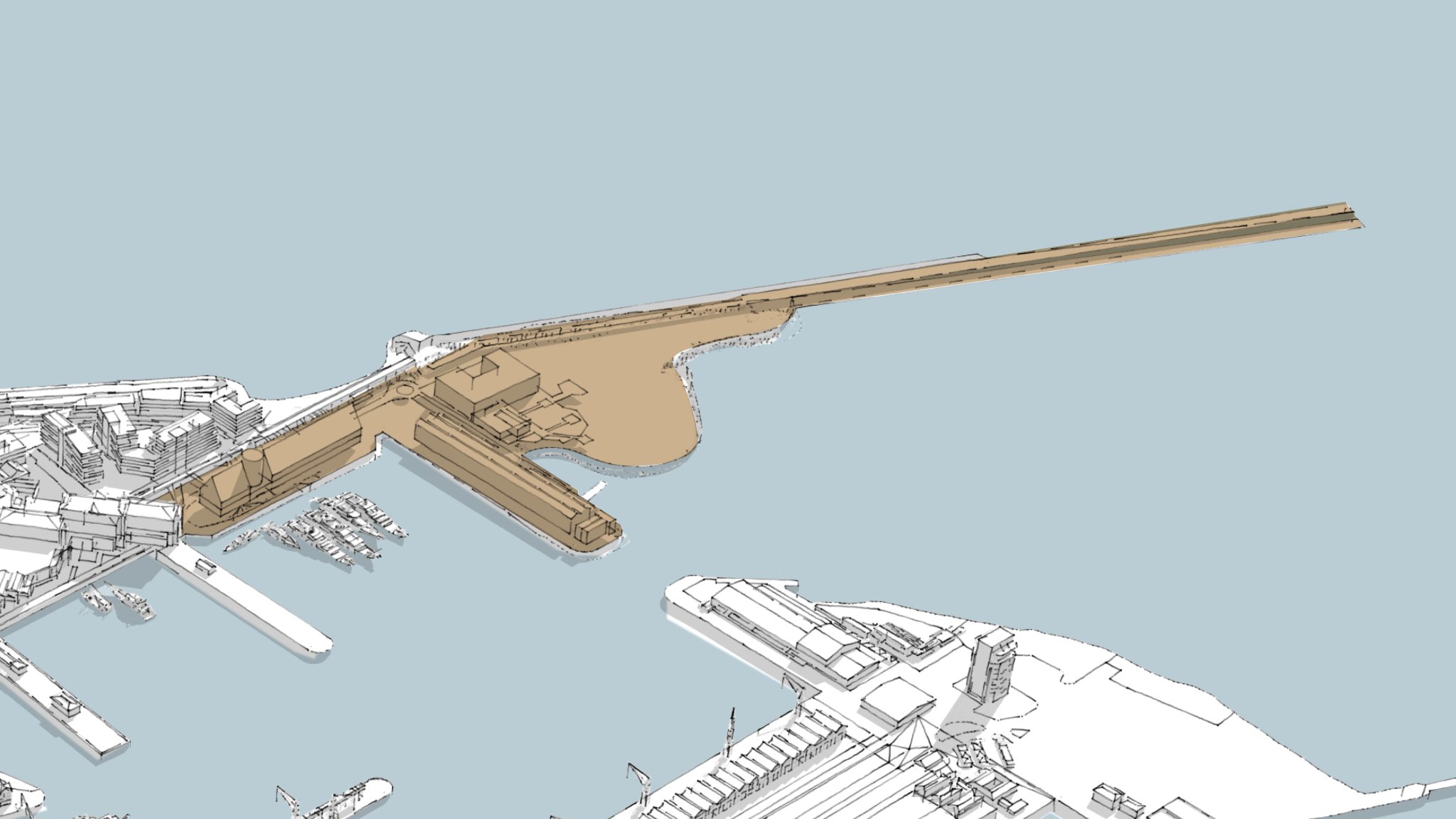
EAST PIER DISTRICT
Since 1880, people have been crossing from the Pierhead to the other side of the Cut, first by penny ferry, now by the swing bridge. The Port Captain’s Building has watched over it all since 1904, and working vessels still move in and out of the basin all day. Some corners of this neighbourhood have been in use for over 160 years.
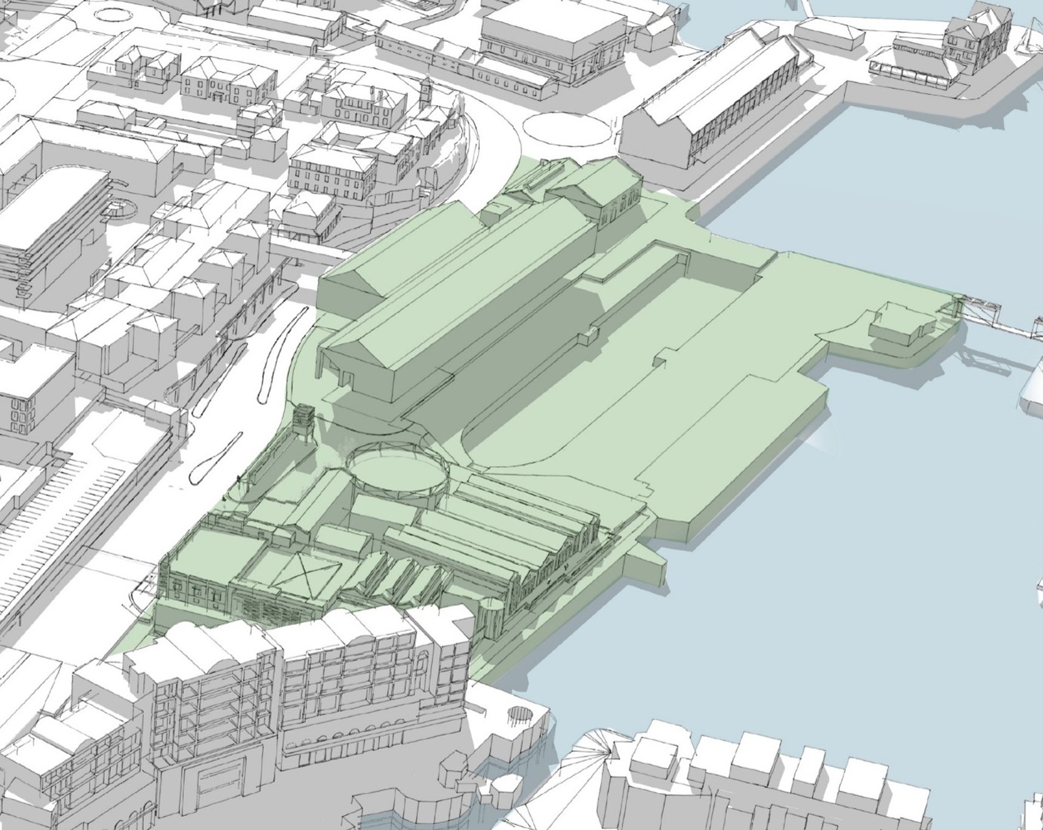
Dry Dock District
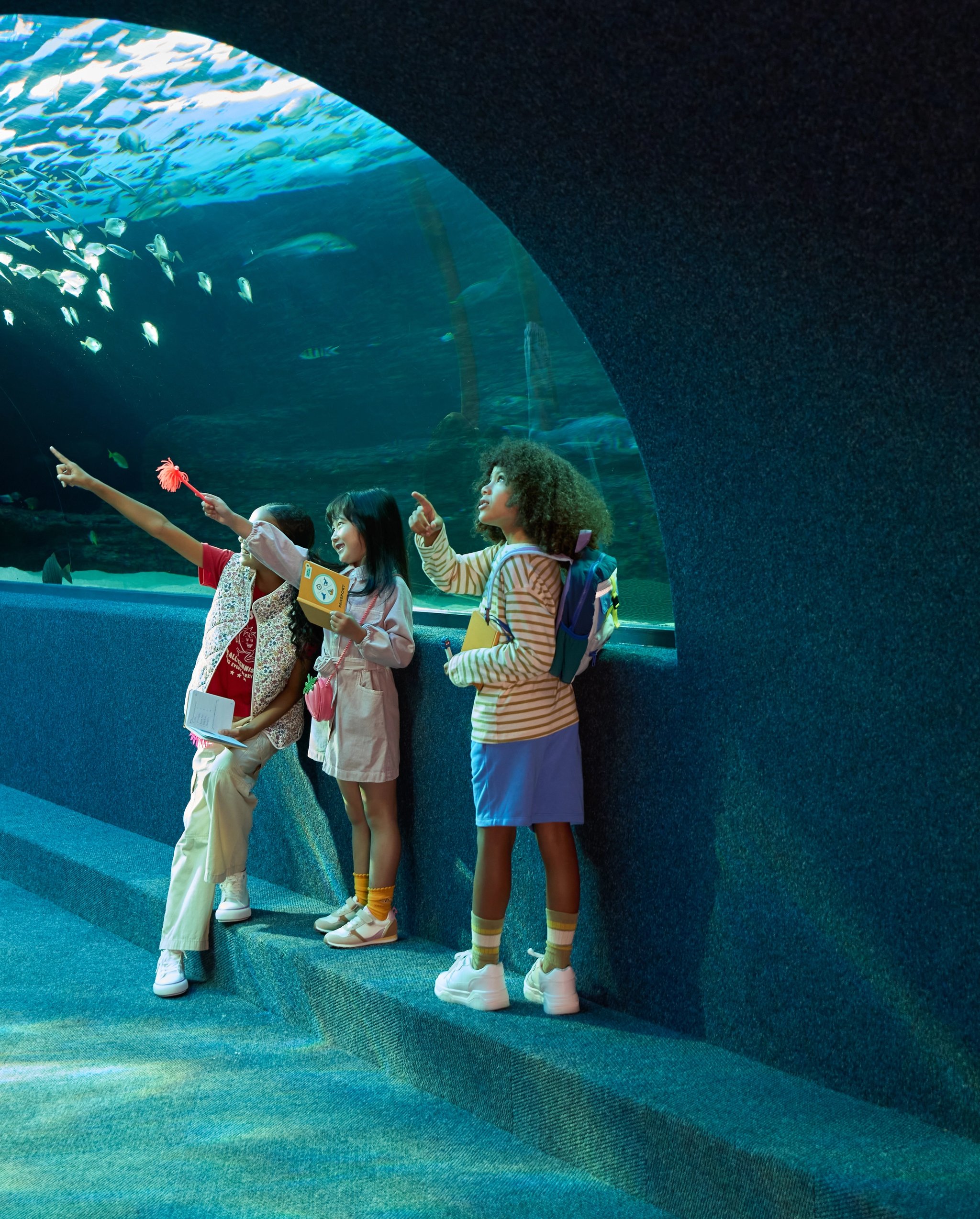
A working dry dock where boats are repaired. A million-and-a-half litres of seawater, not to mention all the extraordinary marine creatures, in the Two Oceans Aquarium. Over 150 independent makers, designers and traders in the Watershed next door, plus a co-working space where the harbour is the view from your desk at Workshop17 Watershed. The Dry Dock District is anything but dry.
Silo District
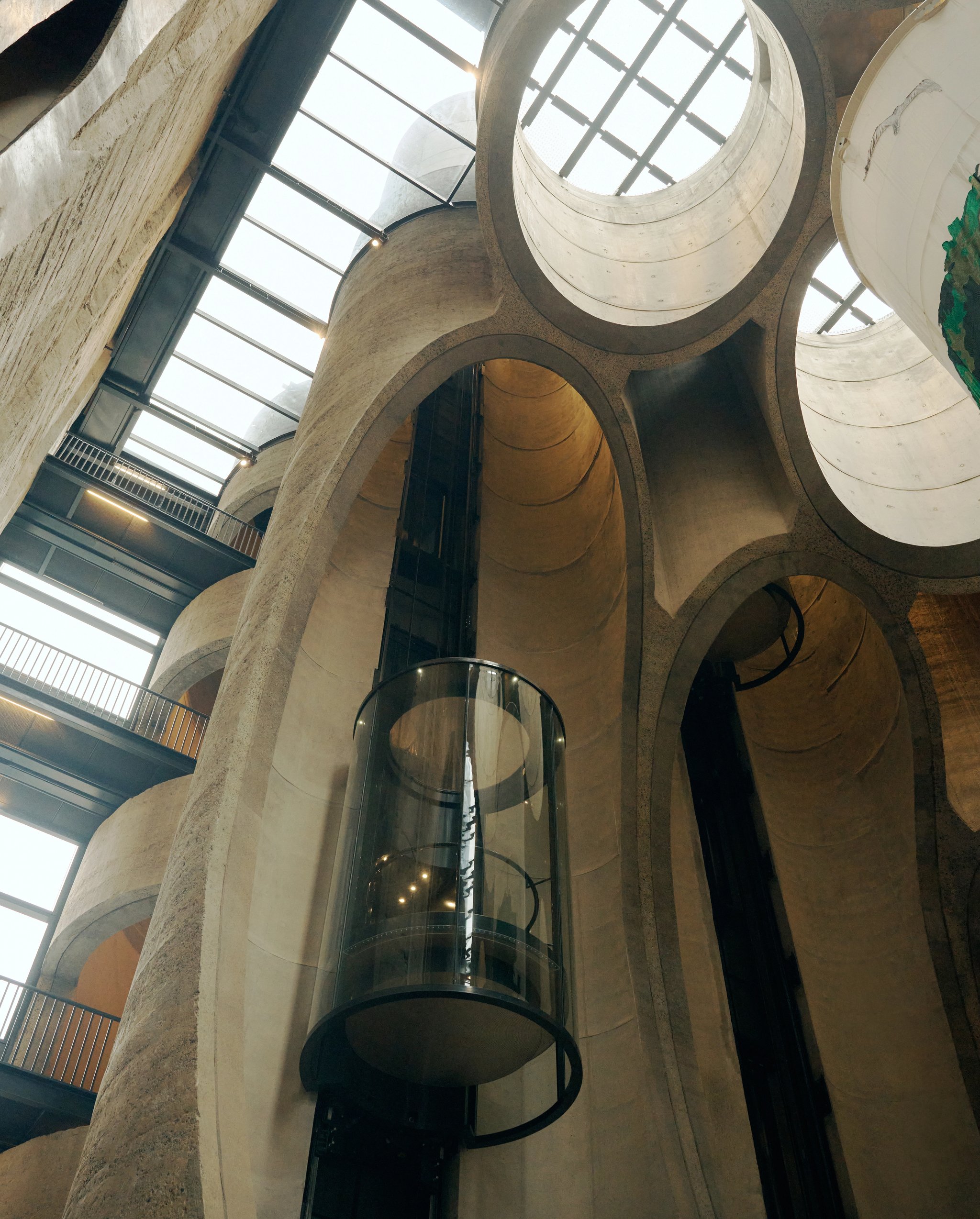
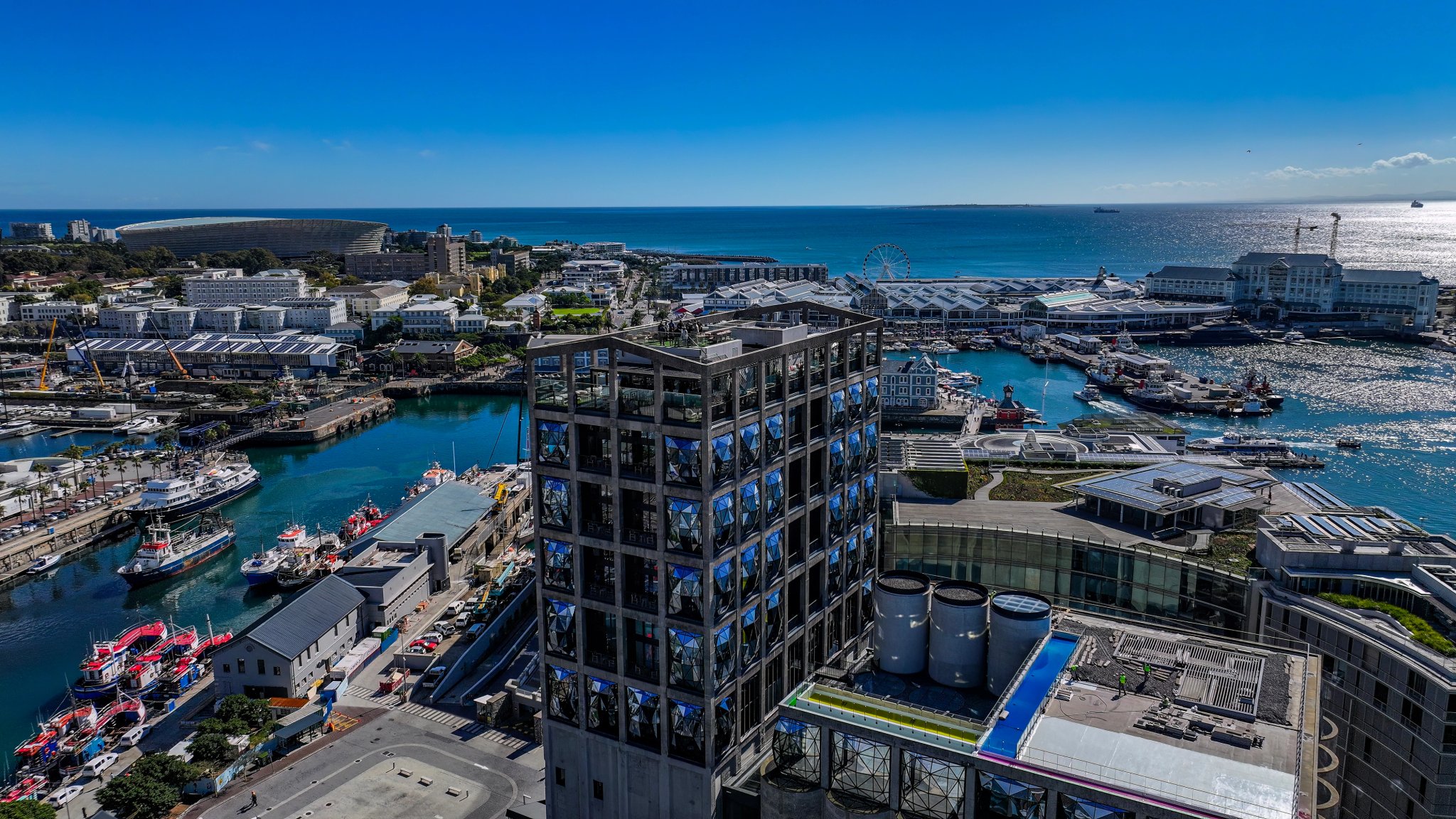
Someone had a decommissioned grain silo and an idea. Four years later, Zeitz MOCAA opened as the world’s largest museum of contemporary African art. The Silo District grew up around it, including six buildings, blue-chip offices, two hotels, galleries, restaurants, and a grain silo that is now one of the most photographed buildings on the continent.
Marina District
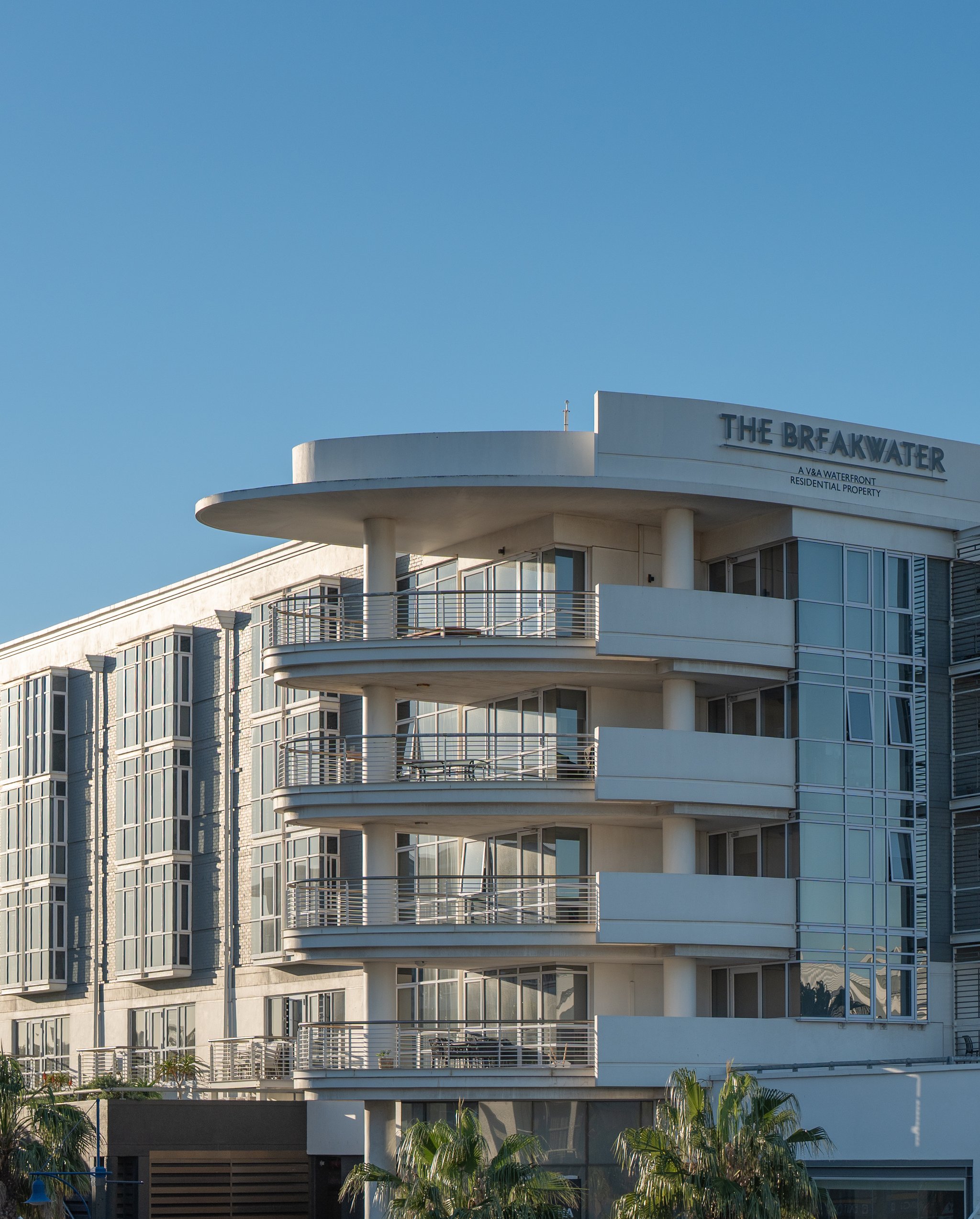
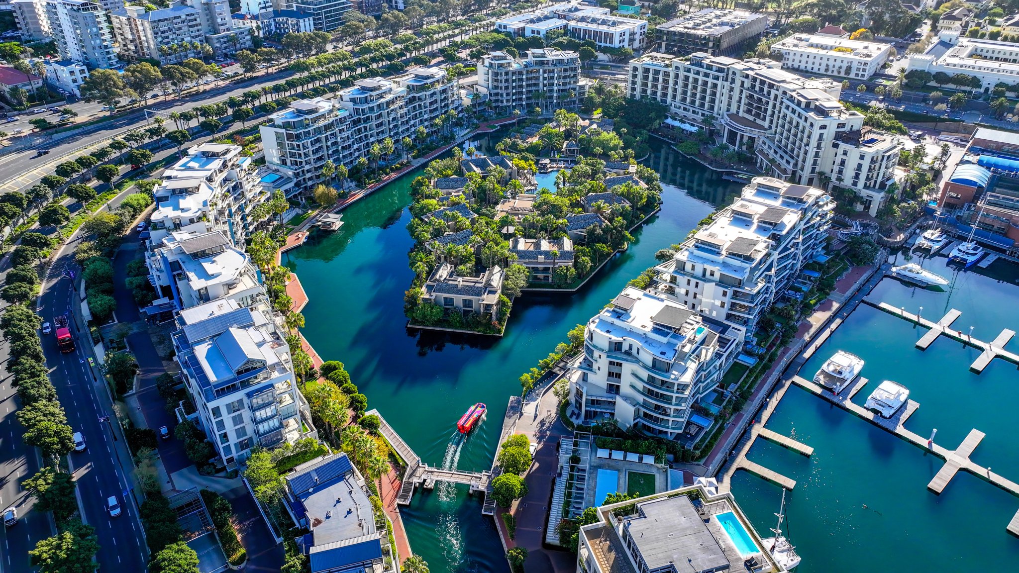
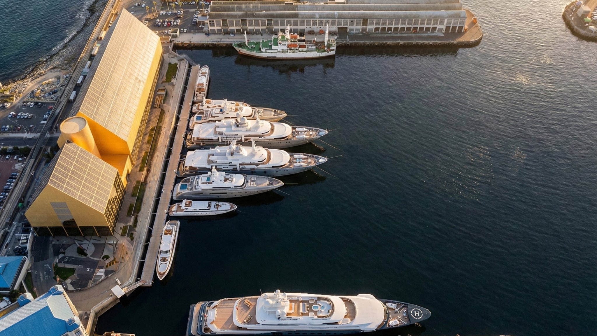
Superyacht owners and weekend sailors share the same basin in the Marina District, which runs from Dock Road to West Quay Road. Five-star hotels sit a few minutes’ walk from working harbour infrastructure, with the famous One&Only anchoring the luxury end.
Niche commercial offices, residential apartments and hotel rooms all look out over the marina, and a short harbour cruise connects this end of the neighbourhood to the Canal District on the other side.
Portswood Ridge District
The oldest buildings here date to 1870. The old Breakwater Prison became the UCT Graduate School of Business in 1992, its prisoners’ cells converted into seminar rooms.
The newest is The Ridge, home to Deloitte. It was built with a timber façade, water-cooled floors and 5.5 tonnes of single-use plastic stuffed into eco-bricks and locked into its foundations. Across the courtyard, a vegetable garden feeds urban food programmes that have been running since 2020.
South Arm District
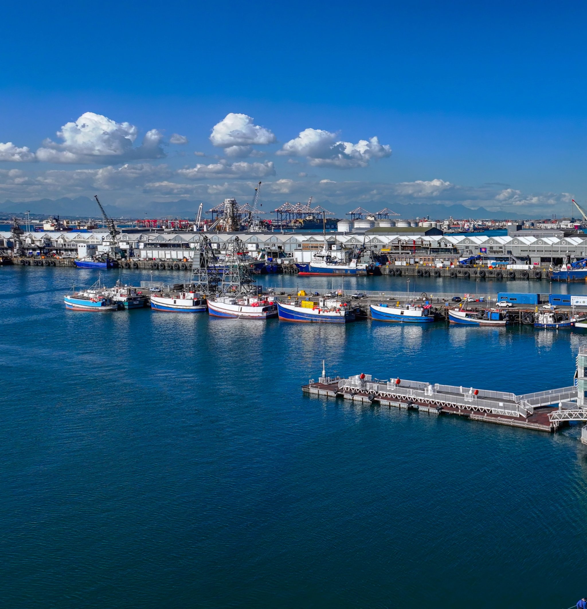
South Arm Road begins where the Silo circle ends and runs all the way to the Transnet building. This working stretch of harbour, where major fishing fleets berth and commercial vessels come and go, is perhaps the V&A Waterfront at its most unfiltered: cranes, boats, the smell of salt and diesel, and, at the far end, the open ocean.
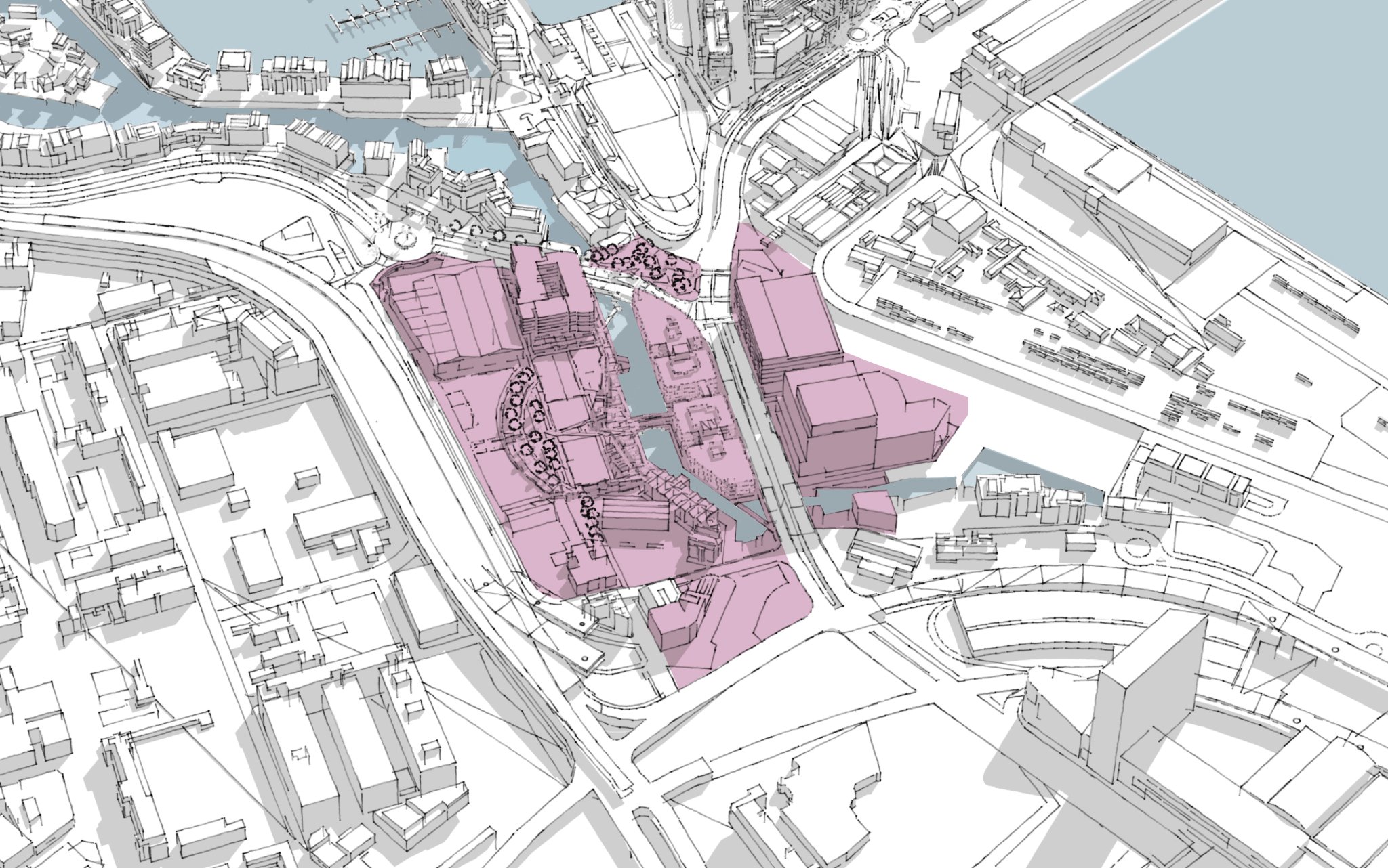
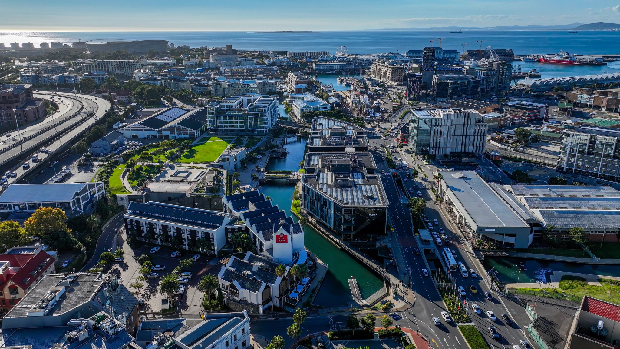
Canal District
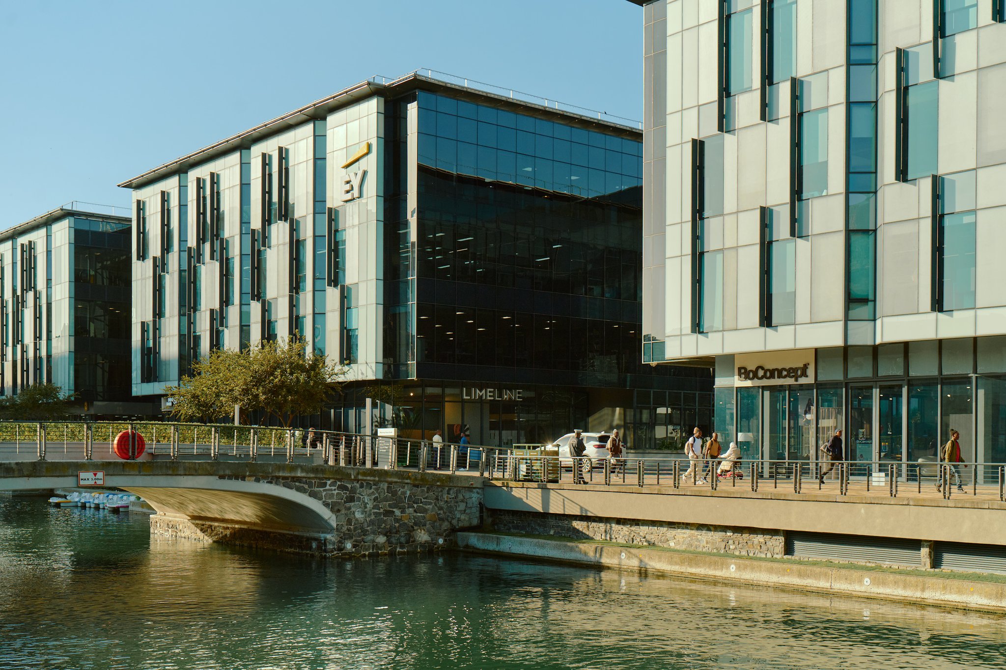
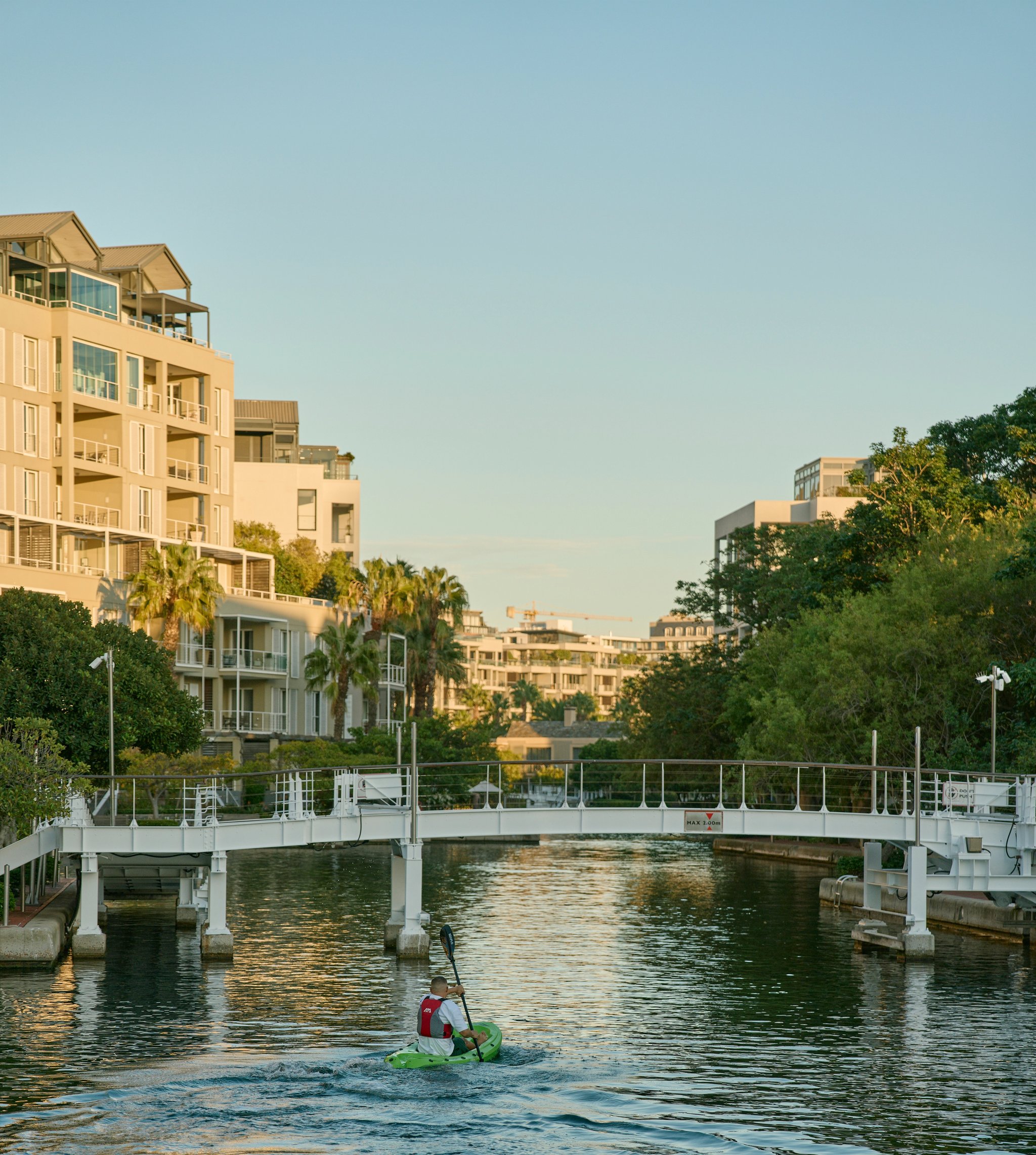
Once defined by clear boundaries between the Waterfront and the city, the Canal District has reshaped this edge.
Battery Park, Waterway House, Signal View and Dock Road Junction now form a precinct that connects the waterfront to the city, rather than separating it.
Development news and milestones
Let’s build what’s next
Whether you’re looking to lease space, explore a commercial partnership, invest in the neighbourhood’s future or start a conversation about development at the Waterfront, our team is here to help.