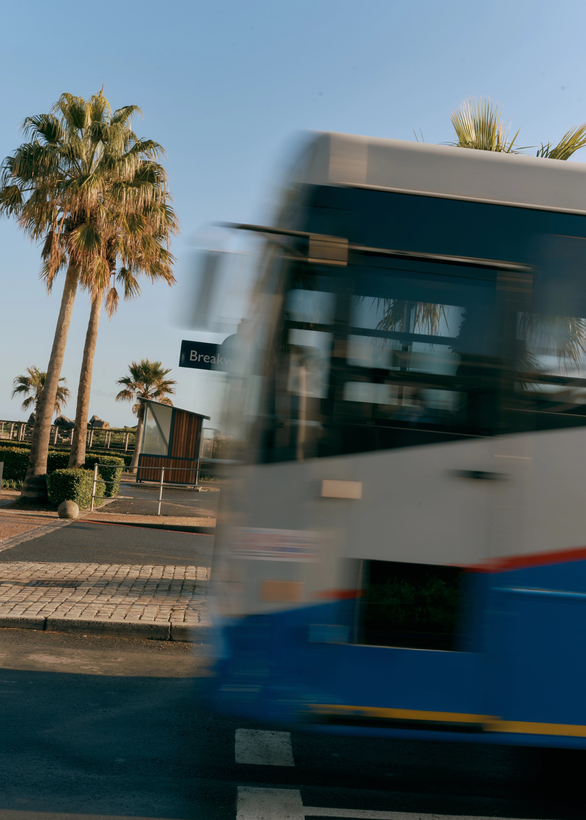
MyCiti Bus
MyCiTi is an official public bus service, offering a safe and affordable way to get to the V&A Waterfront and nearby areas.
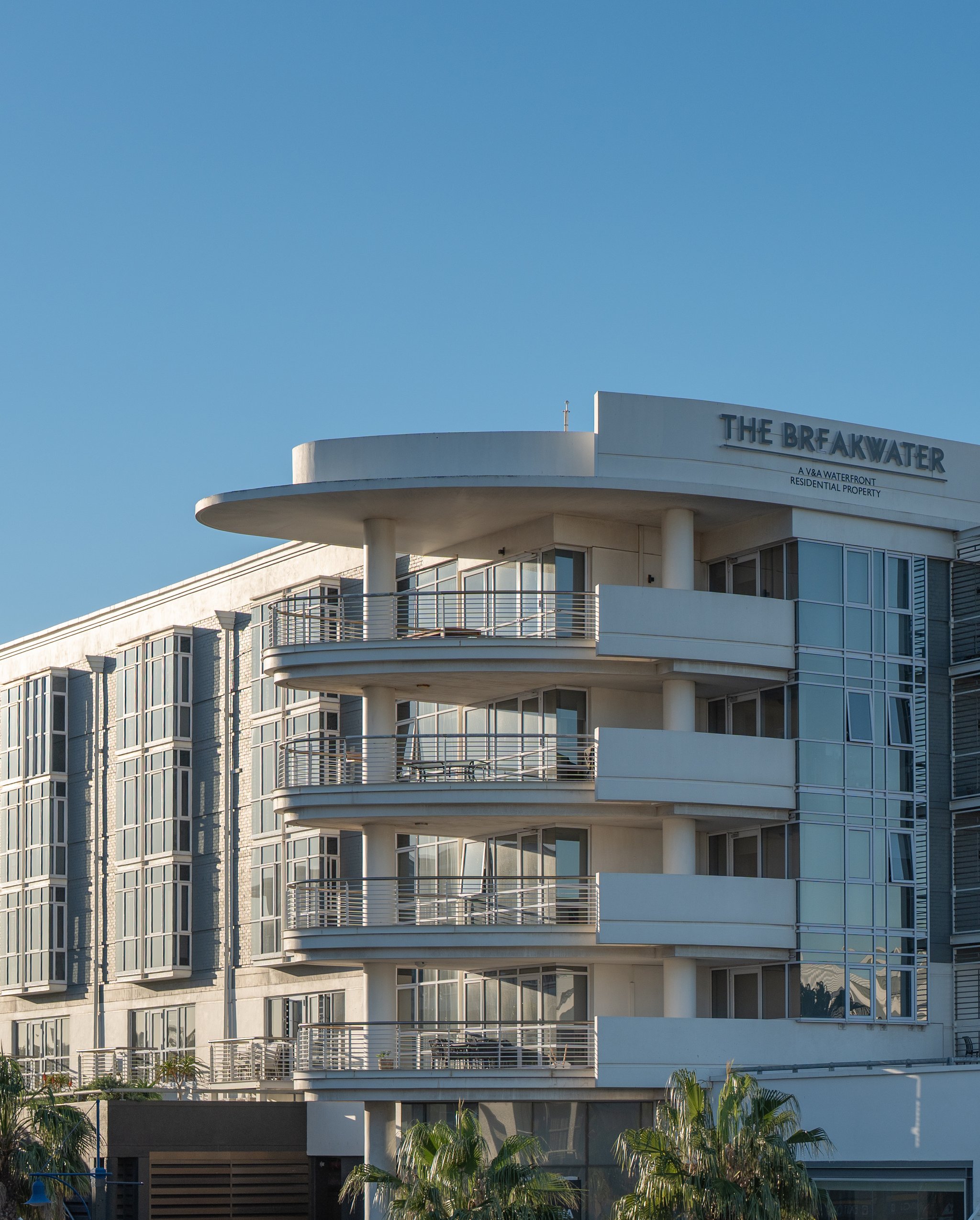
When visitors come to our neighbourhood, no access fee is required, except for some museums and the Two Oceans Aquarium. We are open every day of the year, including all public and bank holidays, as well as during festive seasons.
In the event of an emergency, we recommend calling the appropriate emergency service listed in the table. The V&A Waterfront security team is available 24 hours a day, 7 days a week.
V&A Waterfront security team: | (+27) 021 408 7708 (+27) 021 408 7709 (+27) 021 408 7710 |
|---|---|
Lost child or missing person at the V&A Waterfront: | (+27) 021 408 77708 |
V&A Waterfront information centre: | (+27) 021 408 7600 Operating hours: 09:00 to 21:00 |
South African Police Service (SAPS): | 10111 |
General police, fire or medical services (only MTN, Vodacom, Cell C and Telkom users): | 112 |
General police, fire or medical services (only South African landline users): | 107 |
Table Mountain National Park emergency line: | (+27) 086 1106 417 |
Wilderness Search and Rescue (WSAR): | (+27) 021 937 0300 |
National Sea Rescue Institute (NSRI): | (+27) 087 094 9774 |
V&A Waterfront security team:
(+27) 021 408 7708
(+27) 021 408 7709
(+27) 021 408 7710
Lost child or missing person at the V&A Waterfront:
(+27) 021 408 77708
V&A Waterfront information centre:
(+27) 021 408 7600 Operating hours: 09:00 to 21:00
South African Police Service (SAPS):
10111
General police, fire or medical services (only MTN, Vodacom, Cell C and Telkom users):
112
General police, fire or medical services (only South African landline users):
107
Table Mountain National Park emergency line:
(+27) 086 1106 417
Wilderness Search and Rescue (WSAR):
(+27) 021 937 0300
National Sea Rescue Institute (NSRI):
(+27) 087 094 9774
We offer parking across five parking facilities that are monitored 24 hours a day, 7 days a week. Each facility has its own payments and pricing system, so be sure to check the signs when you arrive.
Vic Wharf, Mall Front, Ulundi, Portswood Square, Clocktower/Silo, Merchant House, The Ridge, Battery & East Pier
Hours | Tariff |
|---|---|
0 – 1 hr | R10 |
1 – 1½ hrs | R15 |
1½ – 2 hrs | R20 |
2 – 3 hrs | R25 |
3 – 4 hrs | R30 |
4 – 5 hrs | R40 |
5 – 6 hrs | R50 |
6 – 7 hrs | R60 |
7 – 8 hrs | R70 |
8 – 9 hrs | R80 |
9 – 10 hrs | R90 |
10 – 11 hrs | R100 |
11 – 12 hrs | R110 |
12 – 24 hrs | R120 |
Lost ticket | R120 |
Hours
0 – 1 hr
Tariff
R10
Hours
1 – 1½ hrs
Tariff
R15
Hours
1½ – 2 hrs
Tariff
R20
Hours
2 – 3 hrs
Tariff
R25
Hours
3 – 4 hrs
Tariff
R30
Hours
4 – 5 hrs
Tariff
R40
Hours
5 – 6 hrs
Tariff
R50
Hours
6 – 7 hrs
Tariff
R60
Hours
7 – 8 hrs
Tariff
R70
Hours
8 – 9 hrs
Tariff
R80
Hours
9 – 10 hrs
Tariff
R90
Hours
10 – 11 hrs
Tariff
R100
Hours
11 – 12 hrs
Tariff
R110
Hours
12 – 24 hrs
Tariff
R120
Hours
Lost ticket
Tariff
R120
Clocktower/Silo and Battery parking are free on Saturdays and Sundays (lost ticket R120).
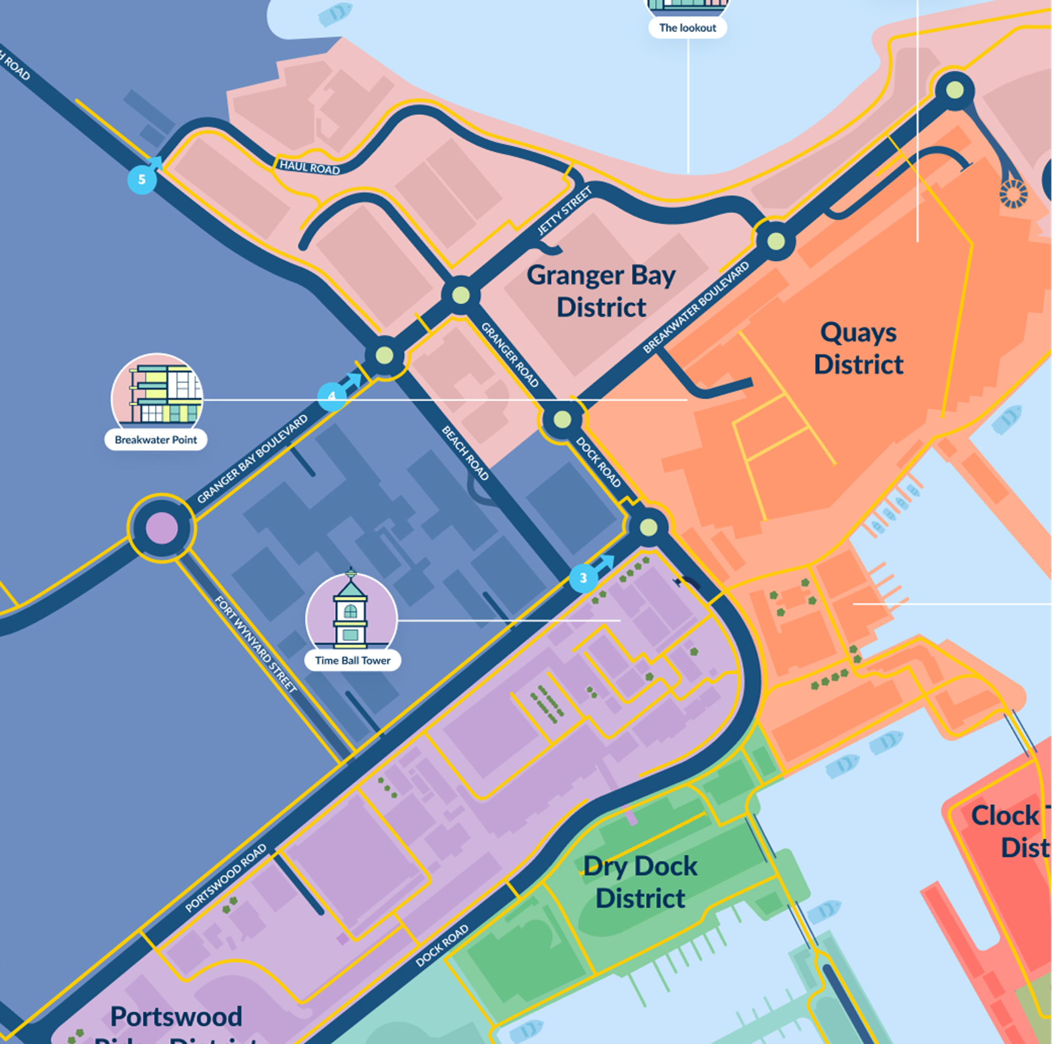
The V&A Waterfront is easy to reach using Cape Town’s public transport services. Choose between taking a bus, a metered taxi, or even a boat ride.The V&A Waterfront is easy to reach using Cape Town’s public transport services. Choose between taking a bus, a metered taxi, or even a boat ride.
MyCiTi is an official public bus service, offering a safe and affordable way to get to the V&A Waterfront and nearby areas.
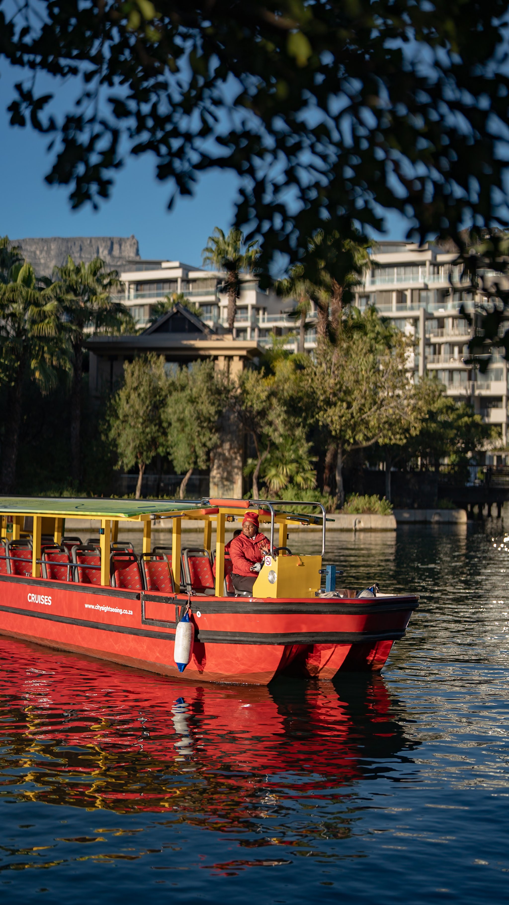
Go for a relaxing canal cruise or use the water taxi to get from Cape Town’s city centre to our neighbourhood.
There are designated drop-off and pick-up zones for Ubers and meter taxis, making it easy to get in and out of the Waterfront.
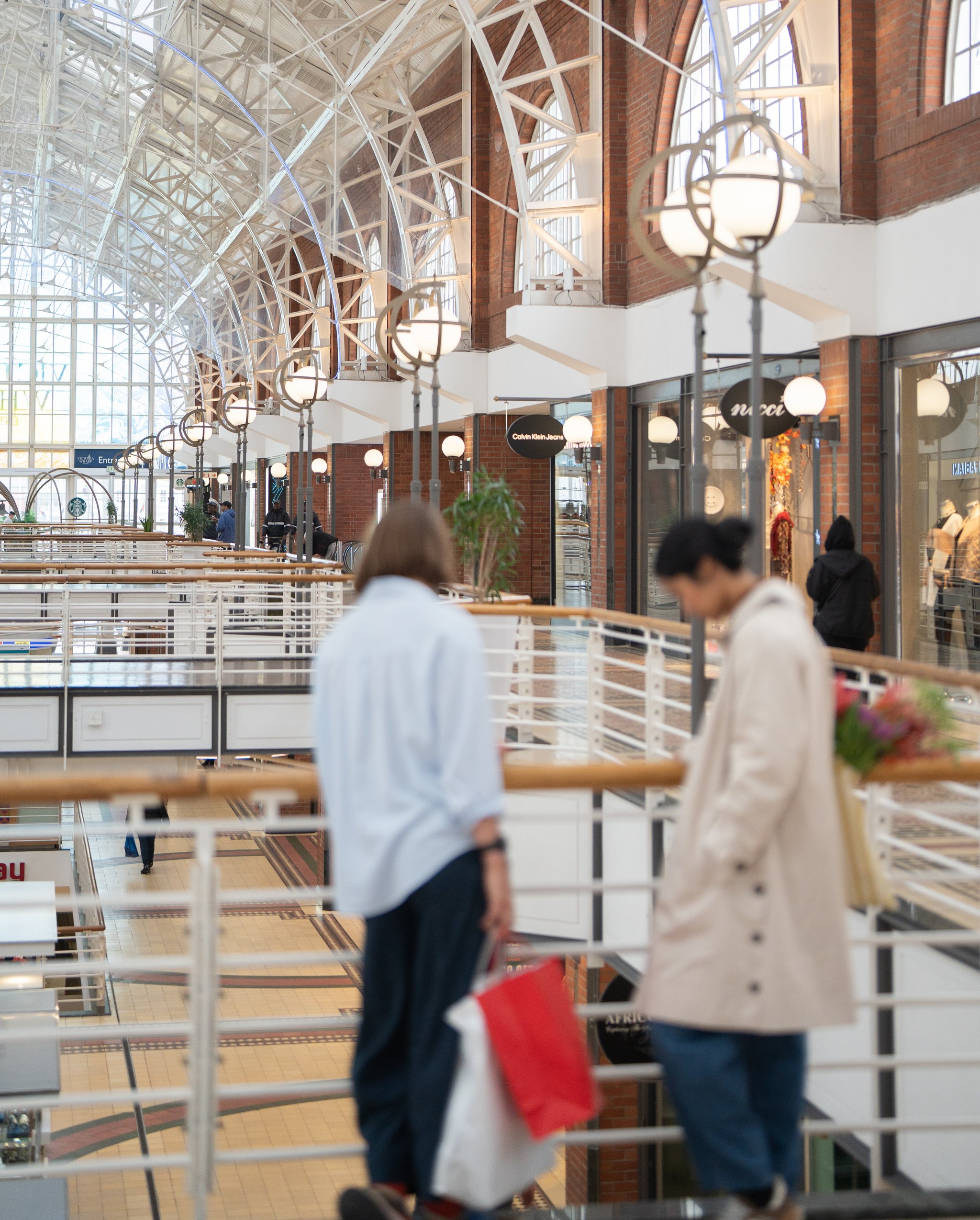
Find our Info Desk at the Victoria Wharf Shopping Centre, located near the Nespresso store. We’re open daily from 09:00 to 21:00. Our team will be available to help with any information you may need.